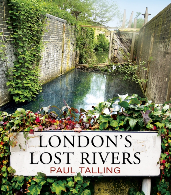
London's Lost Rivers : a beautifully illustrated guide to London's secret rivers Paperback / softback
by Paul Talling
Paperback / softback
Description
Packed with surprising and fascinating information, London's Lost Rivers uncovers a very different side to London - showing how waterways shaped our principal city and exploring the legacy they leave today. With individual maps to show the course of each river and over 100 colour photographs, it's essential browsing for any Londoner and the perfect gift for anyone who loves exploring the past... 'An amazing book' -- BBC Radio London'Talling's highly visual, fact-packed, waffle-free account is the freshest take we've yet seen.
A must-buy for anyone who enjoys the "hidden" side of London -- Londonist'A fascinating and stylish guide to exploring the capital's forgotten brooks, waterways, canals and ditches ... it's a terrific book' - Walk'Pocket-sized, beautifully designed, illustrated and informative - in short a joy to read, handle and use' -- ***** Reader review'Delightful, informative and beautifully produced' -- ***** Reader review'A small gem.
A really great book. I can't put it down' -- ***** Reader review'Fascinating from start to finish' -- ***** Reader review************************************************************************************************From the sources of the Fleet in Hampstead's ponds to the mouth of the Effra in Vauxhall, via the meander of the Westbourne through 'Knight's Bridge' and the Tyburn's curve along Marylebone Lane, London's Lost Rivers unearths the hidden waterways that flow beneath the streets of the capital. Paul Talling investigates how these rivers shaped the city - forming borough boundaries and transport networks, fashionable spas and stagnant slums - and how they all eventually gave way to railways, roads and sewers.
Armed with his camera, he traces their routes and reveals their often overlooked remains: riverside pubs on the Old Kent Road, healing wells in King's Cross, 'stink pipes' in Hammersmith and gurgling gutters on streets across the city. Packed with maps and over 100 colour photographs, London's Lost Rivers uncovers the watery history of the city's most famous sights, bringing to life the very different London that lies beneath our feet.
Information
-
Less than 10 available - usually despatched within 24 hours
- Format:Paperback / softback
- Pages:192 pages
- Publisher:Cornerstone
- Publication Date:05/05/2011
- Category:
- ISBN:9781847945976
Other Formats
- EPUB from £8.99
£12.99
£11.35
Information
-
Less than 10 available - usually despatched within 24 hours
- Format:Paperback / softback
- Pages:192 pages
- Publisher:Cornerstone
- Publication Date:05/05/2011
- Category:
- ISBN:9781847945976


