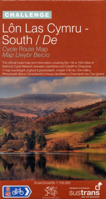
Lon Las Cymru South - Sustrans Cycle Route Map - NN8A : The Official Route Map and Information Covering the 118 or 104 Miles of the National Cycle Network Between Llanidloes and Cardiff or Chepstow Sheet map, folded
Edited by Sustrans
Part of the Sustrans National Cycle Network series
Sheet map, folded
Description
"The Challenge" series of Sustrans official cycle route maps provides clearly mapped cycle routes on traffic-free paths, quiet lanes and traffic-calmed roads.
This is the Sustrans official cycle route map and information covering the 118 or 104 mile National Cycle Network route between Llanidloes and Cardiff or Chepstow.
It covers routes NN8, 42 and 46. It includes fold-out, full colour, waterproof map. It is presented on the scale of 1:100,000. It comes with splash-proof plastic sleeve. It includes region-wide mapping. It offers visitor information and detailed routes through towns.
Information
-
Item not Available
- Format:Sheet map, folded
- Pages:colour route map
- Publisher:Sustrans
- Publication Date:01/06/2009
- Category:
- ISBN:9781901389760
Information
-
Item not Available
- Format:Sheet map, folded
- Pages:colour route map
- Publisher:Sustrans
- Publication Date:01/06/2009
- Category:
- ISBN:9781901389760


