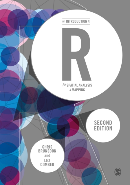
An Introduction to R for Spatial Analysis and Mapping PDF
by Chris Brunsdon, Lex Comber
Part of the Spatial Analytics and GIS series
Description
This is a new edition of the accessible and student-friendly 'how to' for anyone using R for the first time, for use in spatial statistical analysis, geocomputation and digital mapping. The authors, once again, take readers from 'zero to hero', updating the now standard text to further enable practical R applications in GIS, spatial analyses, spatial statistics, web-scraping and more.
Revised and updated, each chapter includes:
- example data and commands to explore hands-on;
- scripts and coding to exemplify specific functionality;
- self-contained exercises for students to work through;
- embedded code within the descriptive text.
The new edition includes detailed discussion of new and emerging packages within R like sf, ggplot, tmap, making it the go to introduction for all researchers collecting and using data with location attached. This is the introduction to the use of R for spatial statistical analysis, geocomputation, and GIS for all researchers - regardless of discipline - collecting and using data with location attached.
Information
-
Download - Immediately Available
- Format:PDF
- Pages:336 pages
- Publisher:SAGE Publications
- Publication Date:10/12/2018
- Category:
- ISBN:9781526454201
Other Formats
- EPUB from £32.29
Information
-
Download - Immediately Available
- Format:PDF
- Pages:336 pages
- Publisher:SAGE Publications
- Publication Date:10/12/2018
- Category:
- ISBN:9781526454201


