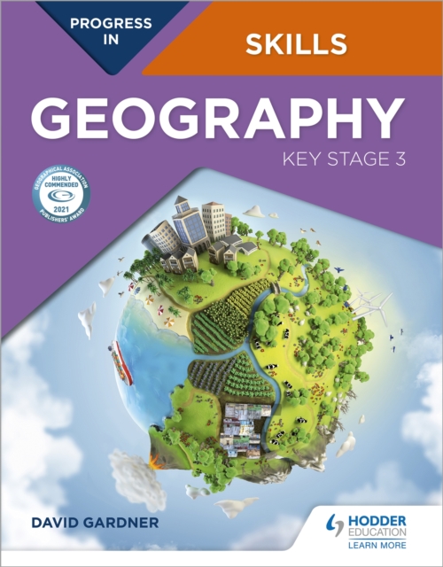
Progress in Geography Skills: Key Stage 3 Paperback / softback
by David Gardner
Paperback / softback
Description
Highly Commended in the GA Publishers' Awards 2021:"This comprehensive resource has been designed to work alongside Progress in Geography and uses the same format and recognisable layout.
It can also be used as a standalone text and is packed full of resources, well-framed activities, support and practice to help students to develop key geographical skills and think critically about what they're learning.
The judges also felt it could be a useful reference for non-specialists and trainee teachers." This book is designed to help students build up and apply geographical skills throughout KS3.
A wide range of skills are introduced in Unit 1, and then revisited and progressed in different contexts in Units 2-15 as part of a learning journey to becoming a geographer.
These skills are progressed as an integral component of an enquiry process.
The book provides a firm foundation for the geographical skills required at GCSE level and beyond. A wide range of geographical data is provided including satellite images and a large number of OS maps at a variety of scales, often linked to other data, such as ground and aerial photos.
Progress in Geography Skills: Key Stage 3 can be used independently or alongside the Progress in Geography: Key Stage 3 Student book. Each page has a specific learning objective and skills focus, such as:- Conducting geographical enquiries; considering different points of view and making decisions - Drawing field sketches, linked to OS maps and locating places using lines of latitude and longitude on an atlas or grid references on OS maps- Understanding and drawing a wide variety of graphs- Analysis and presentation of statistical data- Comparing ground level photographs with Ordnance Survey maps and being able to identify coastal, glacial and river landforms on OS maps- Using newspapers to investigate issues, and detect bias- Using websites, including online GiS, as part of enquiries and investigating data
Information
-
Only a few left - usually despatched within 24 hours
- Format:Paperback / softback
- Pages:136 pages
- Publisher:Hodder Education
- Publication Date:26/06/2020
- Category:
- ISBN:9781510477575
Other Formats
- EPUB from £9.49
Information
-
Only a few left - usually despatched within 24 hours
- Format:Paperback / softback
- Pages:136 pages
- Publisher:Hodder Education
- Publication Date:26/06/2020
- Category:
- ISBN:9781510477575


