Jewish East London, 1899 Sheet map
Sheet map
Description
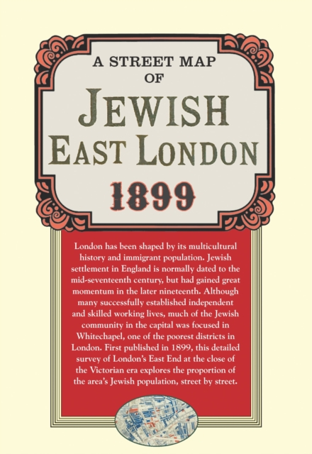
London has been shaped by its multicultural history and immigrant populations, and Jewish communities are some of the city's most interesting and prominent.
Jewish settlement in England is normally dated to the mid-seventeenth century, but was fully underway by the later nineteenth.
Although many successfully established independent and skilled working lives, and their attendant affluence, much of the Jewish population was to be found in Whitechapel, one of the poorest districts in London.
First published in 1899, this detailed survey of London's East End at the close of the Victorian era explores the Jewish districts street by street and is colour-coded to show density of Jewish population.
Information
-
Item not Available
- Format:Sheet map
- Pages:1 col
- Publisher:Bloomsbury Publishing PLC
- Publication Date:13/06/2012
- Category:
- ISBN:9781908402370
Information
-
Item not Available
- Format:Sheet map
- Pages:1 col
- Publisher:Bloomsbury Publishing PLC
- Publication Date:13/06/2012
- Category:
- ISBN:9781908402370


