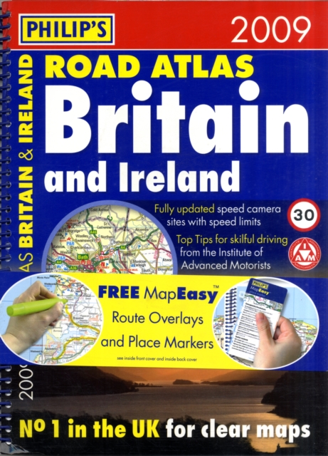
Philip's Road Atlas Britain and Ireland Spiral bound
Part of the Road Atlases series
Spiral bound
Description
"Philip's Road Atlas Britain and Ireland 2009" provides the increased level of information demanded by the many drivers travelling occasionally to Ireland.
The whole island is covered across seven pages - far more than any competitive atlas - and is fully indexed.
There are indexed town plans of Dublin, Cork, Belfast and Londonderry.
The 176 pages of road maps cover Britain at 3 miles to 1 inch (Western Isles, Orkney and Shetland at 4.75 miles to 1 inch).The maps clearly mark service areas, roundabouts and multi-level junctions, and in rural areas distinguish between roads over and under 4 metres wide - a boon for drivers of wide vehicles.
Across the Channel, a full-page map shows Calais and Boulogne, and a double-page map shows the full extent of the northern French coast including all ferry ports.
The atlas also includes route-planning maps, M25 and M60 maps, full listings of mobile speed-camera sites, distance table, 12 large-scale city approach maps with named arterial roads, and 97 extra-detailed town and city plans, airport plans and port plans.
Information
-
Item not Available
- Format:Spiral bound
- Pages:320 pages
- Publisher:Octopus Publishing Group
- Publication Date:14/07/2008
- Category:
- ISBN:9780540093045
Other Formats
- Spiral bound from £10.19
- Paperback / softback from £10.19
- Hardback from £14.95
Information
-
Item not Available
- Format:Spiral bound
- Pages:320 pages
- Publisher:Octopus Publishing Group
- Publication Date:14/07/2008
- Category:
- ISBN:9780540093045


