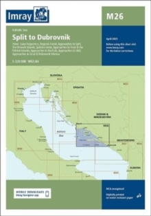
Imray Chart M26 : Split to Dubrovnik
Imray
In Stock - usually despatched within 24 hours
Format: Book (Sheet map, folded)
The Cruising Almanac Tide Tables 2024
Imray
In Stock - usually despatched within 24 hours
Format: Book (Paperback / softback)
Imray Chart C52 : Cardigan Bay to Liverpool
Imray
In Stock - usually despatched within 24 hours
Format: Book (Sheet map, folded)
Imray Chart M24 : Golfo di Trieste to Losinj and Rab
Imray
In Stock - usually despatched within 24 hours
Format: Book (Sheet map, folded)
Adriatic Pilot : Croatia, Slovenia, Montenegro, East Coast of Italy, Albania
Trevor & Dinah Thompson
In Stock - usually despatched within 24 hours
Format: Book (Hardback)
West Aegean : The Attic Coast, Eastern Peloponnese, Western Cyclades and Northern Sporades
Rod and Lucinda Heikell
In Stock - usually despatched within 24 hours
Format: Book (Paperback / softback)
Imray Chart C63 : Firth of Clyde
Imray
In Stock - usually despatched within 24 hours
Format: Book (Paperback / softback)
Map of the River Thames
Imray
In Stock - usually despatched within 24 hours
Format: Book (Sheet map, folded)
Imray Chart M10 : Western Mediterranean
Imray
In Stock - usually despatched within 24 hours
Format: Book (Sheet map, folded)
CCC Sailing Directions - Kintyre to Ardnamurchan : Clyde Cruising Club Sailing Directions and Anchorages
Imray
In Stock - usually despatched within 24 hours
Format: Book (Spiral bound)
Corsica and North Sardinia : Including La Maddalena Archipelago
RCCPF
In Stock - usually despatched within 24 hours
Format: Book (Paperback / softback)
Imray : Map of the Inland Waterways of France 3
David Edwards-May
In Stock - usually despatched within 24 hours
Format: Book (Paperback / softback)
The River Nene
Roger Green
In Stock - usually despatched within 24 hours
Format: Book (Paperback / softback)
Imray Chart C65 : Crinan to Mallaig and Barra
Imray
In Stock - usually despatched within 24 hours
Format: Book (Paperback / softback)
Imray Chart M30 : Dubrovnik to Kerkira (Corfu) & Sicilia
Imray
In Stock - usually despatched within 24 hours
Format: Book (Paperback / softback)
Imray Chart C66 : Mallaig to Rudha Reidh and Outer Hebrides
Imray
In Stock - usually despatched within 24 hours
Format: Book (Paperback / softback)
The River Thames : Including the River Wey, Basingstoke Canal and Kennet and Avon Canal
Imray
In Stock - usually despatched within 24 hours
Format: Book (Spiral bound)
Imray Chart B3 : The Grenadines- St Vincent to Grenada
Imray
In Stock - usually despatched within 24 hours
Format: Book (Paperback / softback)
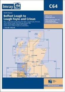
Imray Chart C64 : North Channel - Belfast Lough to Lough Foyle and Crinan
Imray
In Stock - usually despatched within 24 hours
Format: Book (Paperback / softback)
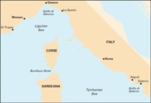
Imray Chart M40 : Ligurian and Tyrrhenian Sea
Imray
In Stock - usually despatched within 24 hours
Format: Book (Sheet map, folded)
Imray Chart M6 : Ile de Corse
Imray
In Stock - usually despatched within 24 hours
Format: Book (Sheet map, folded)
Imray Chart G25 : Northern Sporades and North Evvoia
Imray
In Stock - usually despatched within 24 hours
Format: Book (Sheet map, folded)
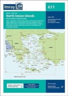
Imray Chart G11 : North Ionian Islands
Imray
In Stock - usually despatched within 24 hours
Format: Book (Sheet map, folded)
Imray Chart C67 : North Minch and Isle of Lewis
Imray
In Stock - usually despatched within 24 hours
Format: Book (Sheet map, folded)
