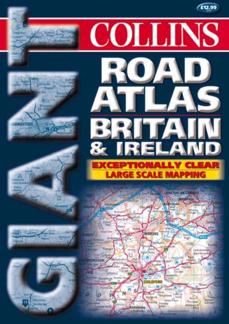
2000 Giant Road Atlas Britain and Ireland Spiral bound
Spiral bound
Description
England & S. Scotland - 2.4 miles to 1 inch Ireland - 16 miles to 1 inch Exceptionally clear, uncluttered extra large scale mapping in full colour.
MAIN FEATURESA large scale road atlas showing all the detail of the standard road atlases but in a clearer, much easier to read and follow style.INCLUDESFull map coverage at extra large 2.4 miles to 1 inch.
Double page Ireland mapping at 16 miles to 1 inch. Also includes route-planning maps, details of limited access motorway junctions, a distance chart and full index to place names.AREA OF COVERAGEThe whole of England, Ireland, Scotland and Wales.WHO THE PRODUCT IS AIMED ATAn extremely useful road atlas for people seeking clear, concise map detail with no frills or distractions.
Easy to use and easy to follow.
Information
-
Item not Available
- Format:Spiral bound
- Publisher:HarperCollins Publishers
- Publication Date:04/10/1999
- Category:
- ISBN:9780004489735
Information
-
Item not Available
- Format:Spiral bound
- Publisher:HarperCollins Publishers
- Publication Date:04/10/1999
- Category:
- ISBN:9780004489735


