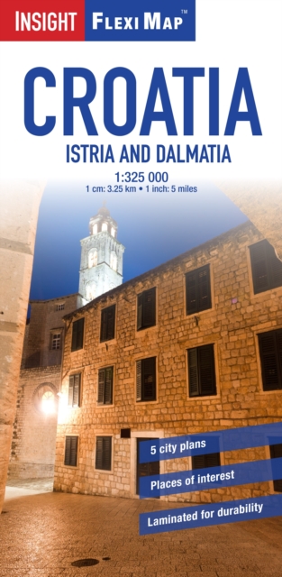
Insight Guides Flexi Map Croatia Sheet map
by APA Publications Limited
Part of the Insight Flexi Maps series
Sheet map
Description
Flexi Map Croatia - Istria and Dalmatia is a double-sided, laminated, road map at a scale of 1:325 000 (1cm = 3.25km). The tear-resistant finish makes it durable and easy to fold. The extensive index has separate listings for place names and significant points of interest. Detailed city plans of Dubrovnik, Rijeka, Split, Zadar and Zagreb are included at various scales, which pedestrian zones, bus stations, tourist offices, and other public buildings clearly marked. There is also an enlarged plan of the Old City of Dubrovnik, a World Heritage site. There are approximately 400 points of interest marked on the map, including National Parks, historical and religious sites, monuments and castles. Each one is accompanied by a pictorial symbols for instant recognition. In addition to the road and rail networks, ferry routes and airports, this map provides an overview of the topography through the use of relief shading, with mountain ranges named and peak heights given. When unfolded, this map measures 143cm x 50cm.
Information
-
Item not Available
- Format:Sheet map
- Pages:2 pages
- Publisher:APA Publications
- Publication Date:03/06/2013
- Category:
- ISBN:9781780054643
Information
-
Item not Available
- Format:Sheet map
- Pages:2 pages
- Publisher:APA Publications
- Publication Date:03/06/2013
- Category:
- ISBN:9781780054643


