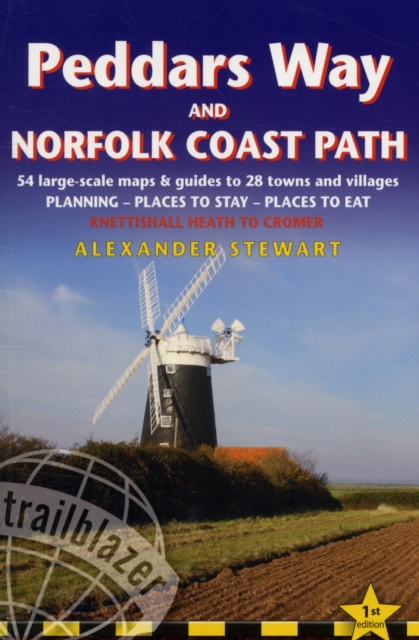
Peddars Way and Norfolk Coast Path: Trailblazer British Walking Guide : Practical Guide to Walking the Whole Path with 55 Large-Scale Maps, Planning, Places to Stay, Places to Eat Paperback
by Alex Stewart
Part of the British Walking Guides series
Paperback
Description
Practical guide to walking the whole Peddars Way and Norfolk Coast Path.
The Peddars Way & Norfolk Coast Path is a 93-mile (150km) National Trail that runs from Knettishall Heath Country Park on the Norfolk/Suffolk border in East Anglia, and follows a Roman road to Holme-next-the-Sea and along the beautiful Norfolk coastline through Holkham, Blakeney and Cley to end at Cromer.
The guide includes: Peddars Way and Norfolk Coast map, 54 large-scale detailed walking maps (1:20,000), guides to 28 towns and villages. Detailed accommodation guide: campsites, B&Bs, hostels, hotels, bunkhouses. Where to eat: cafes, teashops, pubs and restaurants. Detailed public transport information. Itineraries for all walkers including one day Peddars Way and Norfolk Coast Path walks. Downloadable GPS waypoints. Colour pictures including a 6 page colour bird and flower guide.
Information
-
Item not Available
- Format:Paperback
- Pages:192 pages, colour photos, 50 large-scale BW walking maps, 10 town plans
- Publisher:Trailblazer Publications
- Publication Date:18/02/2011
- Category:
- ISBN:9781905864287
Information
-
Item not Available
- Format:Paperback
- Pages:192 pages, colour photos, 50 large-scale BW walking maps, 10 town plans
- Publisher:Trailblazer Publications
- Publication Date:18/02/2011
- Category:
- ISBN:9781905864287


