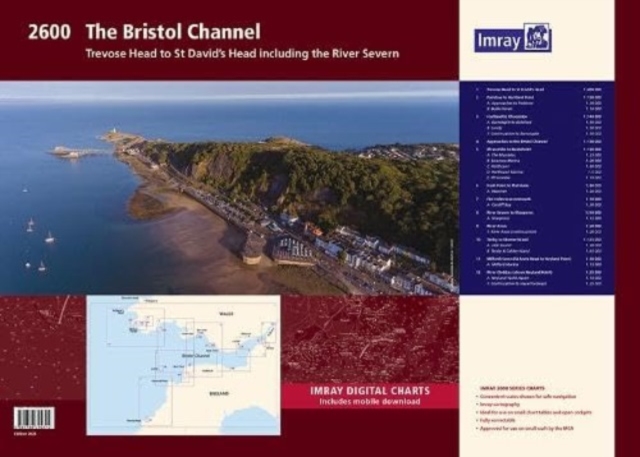
2600 Bristol Channel Chart Pack Wirobound : Trevose Head to St David's Head including the River Severn Spiral bound
by Imray
Part of the 2000 Series series
Spiral bound
Description
The atlas contains 12 sheets-2600.1 Trevose Head to St David's Head 1:450, 000 WGS 842600.2 Padstow to Hartland Point 1:120, 000 WGS 84Plans Approaches to Padstow, Bude Haven2600.3 Hartland to Ilfracombe 1:140, 000 WGS 84Plans Barnstaple to Bideford, Lundy, Continuation to Barnstaple2600.4 Approaches to the Bristol Channel 1:130, 000 WGS 842600.5 Ilfracombe to Nash Point 1:130, 000 WGS 84Plans The Mumbles, Swansea Marina, Porthcawl, Ilfracombe2600.6 Nash Point to Flat Holm 1:80, 000 WGS 84Plans Watchet2600.7 Flat Holm to Avonmouth 1:70, 000 WGS 84Plans Cardiff Bay2600.8 River Severn to Sharpness 1:50, 000 WGS 84Plans Sharpness2600.9 River Avon 1: 20, 000 WGS 84Plans River Avon (continuation)2600.10 Tenby to Skomer Island 1:135 000 WGS 84Plans Jack Sound, Tenby & Caldey Island2600.11 Milford Haven - St Ann's Head to Neyland Point 1:30, 000 WGS 84Plans Milford Marina2600.12 River Cleddau - above Neyland Point 1:25, 000 WGS 84Plans Neyland Yacht Haven, Continuation to HaverfordwestImray Digital Charts: Free mobile download A voucher code to download the relevant Imray digital charts into our Imray Navigator app is included with this atlas.
Information
-
Out of stock
- Format:Spiral bound
- Pages:12 pages
- Publisher:Imray, Laurie, Norie & Wilson Ltd
- Publication Date:01/03/2023
- Category:
- ISBN:9781786794321
Information
-
Out of stock
- Format:Spiral bound
- Pages:12 pages
- Publisher:Imray, Laurie, Norie & Wilson Ltd
- Publication Date:01/03/2023
- Category:
- ISBN:9781786794321


