New England Vintage Map Journal Notebook, 100 pages/50 sheets Paperback / softback
by Poetose Press
Part of the Poetose Notebooks series
Paperback / softback
Description
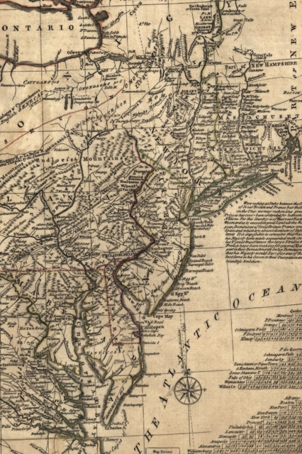
The cover of this beautiful 4" x 6" 100-page notebook of blank pages features a 1771 hand-colored map of the middle British colonies in America, namely Maryland, Delaware, Pennsylvania, New Jersey, New York, Connecticut, and Rhode Island. Contributors listed are Lewis Evans (1700?-1756) and Carington Bowles (1724-1793). The Library of Congress notes that this differs from other copies in absence of Connecticut River north of "Great Falls." It also differs in coloration of boundaries: Maryland is shown extending west to Ft. Cumberland; New York reaches east to "Wood Creek" south of Lake Champlain; north and west boundaries of Pennsylvania are inexact or missing, etc. It includes text, historical notes, distance charts, and an inset of "A sketch of the remaining part of Ohio R. &c."
Here is some of the theory behind the beauty and potential of a blank page: "A person can get lost trying to find a home in herself—but then you simply begin to go on as one must go on, and maybe you say a little something to yourself every once in a while just to practice being with words, meeting silence, meeting yourself again, and maybe you frequent empty rooms to familiarize yourself with the meaning of space as in a blank page, and yourself in it, and maybe you scribble like this will help you come home to yourself, but eventually you fit things together, and what made no sense finds its way into something plausible by virtue of its sheer existence."
Image source: Library of Congress, Geography and Map Division.
Information
-
Item not Available
- Format:Paperback / softback
- Pages:102 pages
- Publisher:Poetose Press
- Publication Date:01/06/2019
- Category:
- ISBN:9781945366994
Other Formats
- Paperback / softback from £9.75
Information
-
Item not Available
- Format:Paperback / softback
- Pages:102 pages
- Publisher:Poetose Press
- Publication Date:01/06/2019
- Category:
- ISBN:9781945366994


