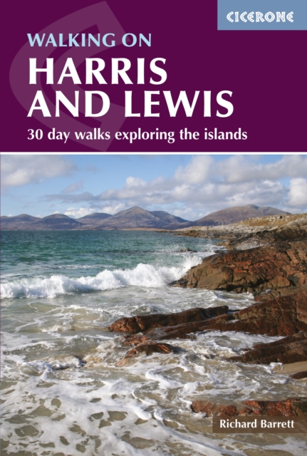
Walking on Harris and Lewis : 30 day walks exploring the islands PDF
by Richard Barrett
Description
This walking guidebook describes 30 day walks all over the Isles of Harris and Lewis, in the Outer Hebrides.
The walks range from 2 to 14 miles (4-22km) in length, and are easily accessible from Stornaway or Tarbert.
Routes vary from short strolls to long wilderness hikes, high-level and low-level, and include the An Cliseam horseshoe, visits to ancient historic monuments like the stone circles of Calanais and the famous Butt of Lewis lighthouse, all illustrated with OS maps and dramatic photography.
The routes take in most of the main summits as well as historical and geographical places of interest.
A list of all the Marilyns (British hills of any height with a drop of at least 150m on all sides) on Harris, Lewis and St Kilda is included at the back.
Much of the Long Island, as it is known, is remote and walkers are not likely to encounter anyone else in their explorations, so these walks are for well-equipped, experienced hikers with good navigational skills.
Tips are also included about walking on St Kilda, Berneray, Taransay, The Shiant Islands and The Flannan Isles, along with a short Gaelic glossary and route summary table, and advice on practicalities to make the most out of any walking trip on Harris and Lewis.
Information
-
Download - Immediately Available
- Format:PDF
- Pages:192 pages, 89 colour photos, 32 OS map extracts
- Publisher:Cicerone Press
- Publication Date:31/07/2015
- Category:
- ISBN:9781783622290
Other Formats
- Paperback / softback from £13.29
- EPUB from £18.98
Information
-
Download - Immediately Available
- Format:PDF
- Pages:192 pages, 89 colour photos, 32 OS map extracts
- Publisher:Cicerone Press
- Publication Date:31/07/2015
- Category:
- ISBN:9781783622290


