An Historical Map of Perth : Royal burgh and county town
Perthshire Society of Natural Science
In Stock - usually despatched within 24 hours
Format: Book (Sheet map, folded)
Grand Union, Oxford and the South East : For Everyone with an Interest in Britain’s Canals and Rivers
Nicholson Waterways Guides
In Stock - usually despatched within 24 hours
Format: Book (Spiral bound)
An Historical Map of Ripon : Cathedral City and Market Town
Mick Stanley
Pre-Order
Format: Book (Sheet map, folded)
An Historical Map of Bath : Medieval, Stuart and Georgian city
History of Bath Research Group
Pre-Order
Format: Book (Sheet map, folded)
Bikers' Britain - The Tours
Simon Weir
In Stock - usually despatched within 24 hours
Format: Book (Spiral bound)
2023 Philip's Road Atlas Britain and Ireland : (A4 Spiral)
Philip's Maps
In Stock - usually despatched within 24 hours
Format: Book (Spiral bound)
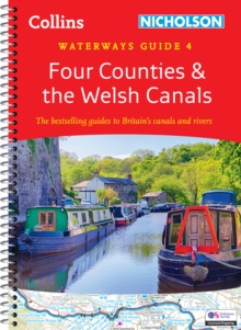
Four Counties and the Welsh Canals : For Everyone with an Interest in Britain’s Canals and Rivers
Nicholson Waterways Guides
In Stock - usually despatched within 24 hours
Format: Book (Spiral bound)
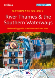
River Thames and the Southern Waterways : For Everyone with an Interest in Britain’s Canals and Rivers
In Stock - usually despatched within 24 hours
Format: Book (Spiral bound)
Booth’s Maps of London Poverty, 1889 : East & West London
Charles Booth
In Stock - usually despatched within 24 hours
Format: Book (Sheet map)
A Map of Tudor London : The City and Southwark in 1520. Second edition
Caroline Barron
In Stock - usually despatched within 24 hours
Format: Book (Sheet map, folded)
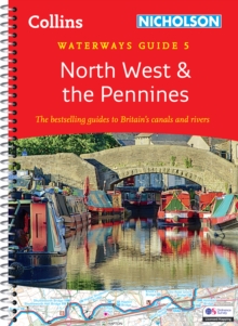
North West and the Pennines : For Everyone with an Interest in Britain’s Canals and Rivers
Nicholson Waterways Guides
In Stock - usually despatched within 24 hours
Format: Book (Spiral bound)
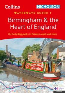
Birmingham and the Heart of England : For Everyone with an Interest in Britain’s Canals and Rivers
Nicholson Waterways Guides
In Stock - usually despatched within 24 hours
Format: Book (Spiral bound)
A -Z Europe for Bikers : 100 Scenic Routes Around Europe
Simon Weir
In Stock - usually despatched within 24 hours
Format: Book (Spiral bound)
A -Z Britain for Bikers : 100 Scenic Routes Around the Uk
Simon Weir
In Stock - usually despatched within 24 hours
Format: Book (Spiral bound)
Nottingham, York and the North East : For Everyone with an Interest in Britain’s Canals and Rivers
In Stock - usually despatched within 24 hours
Format: Book (Spiral bound)
Severn, Avon and Birmingham : For Everyone with an Interest in Britain’s Canals and Rivers
Nicholson Waterways Guides
In Stock - usually despatched within 24 hours
Format: Book (Spiral bound)
Bradshaw's Railway Map Great Britain and Ireland 1852
George Bradshaw
In Stock - usually despatched within 24 hours
Format: Book (Sheet map, folded)
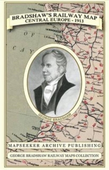
Bradshaw's Railway Map Central Europe 1913
George Bradshaw
In Stock - usually despatched within 24 hours
Format: Book (Sheet map, folded)
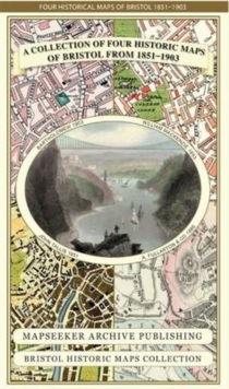
A Bristol 1851-1903 - Fold up Map that consists of Four Detailed Street Plans, Bristol 1851 by John Tallis, 1866 by A Fullarton, 1893 by William MacKenzie and 1903 by Bartholomew.
Mapseeker Publishing Ltd.
In Stock - usually despatched within 24 hours
Format: Book (Sheet map, folded)
The Secret City : A Spy’s Guide To London
Richard Hutt
In Stock - usually despatched within 24 hours
Format: Book (Sheet map, folded)
A Oxfordshire 1611 - 1836 - Fold Up Map that features a collection of Four Historic Maps, John Speed's County Map 1611, Johan Blaeu's County Map of 1648, Thomas Moules County Map of 1836 and a Plan of
Mapseeker Publishing Ltd.
In Stock - usually despatched within 24 hours
Format: Book (Sheet map, folded)
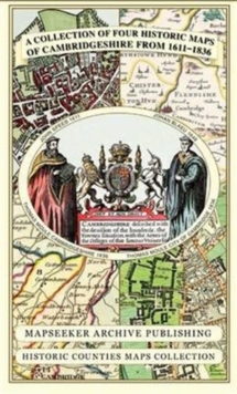
Cambridgeshire 1611 - 1836 - Fold Up Map that includes Four Historic Maps of Cambridgeshire, John Speed's County Map of 1611, Johan Blaeu's County Map of 1648, Thomas Moule's County Map of 1836 and Th
Mapseeker Publishing Ltd.
In Stock - usually despatched within 24 hours
Format: Book (Sheet map, folded)


