Great Britain Counties and Unitary Authorities Map Sheet map, folded
by Geographers' A-Z Map Company
Edited by Geographers' A-Z Map Company
Illustrated by Geographers' A-Z Map Company
Part of the A-Z Road Maps & Atlases series
Sheet map, folded
Description
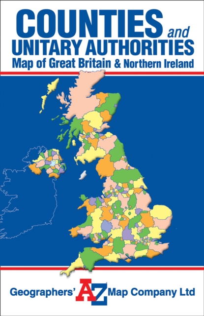
This single sided foldout map of Great Britain and Northern Ireland is designed to show counties and unitary authorities.
Each county and unitary authority is distinctly coloured and named according to the local government boundary reorganisation including the latest changes from April 2009. Whilst there is no road detail on the map it does include an index to towns and villages shown on the map.
Information
-
Item not Available
- Format:Sheet map, folded
- Pages:col.
- Publisher:HarperCollins Publishers
- Publication Date:13/10/2008
- Category:
- ISBN:9781843486282
Information
-
Item not Available
- Format:Sheet map, folded
- Pages:col.
- Publisher:HarperCollins Publishers
- Publication Date:13/10/2008
- Category:
- ISBN:9781843486282


