The Peak District : White Peak Area
In Stock - usually despatched within 24 hours
Format: Book (Sheet map, folded)
The English Lakes South-Western Area : Coniston, Ulverston & Barrow-in-Furness
In Stock - usually despatched within 24 hours
Format: Book (Sheet map, folded)
The English Lakes South-Eastern Area : Windermere, Kendal & Silverdale
In Stock - usually despatched within 24 hours
Format: Book (Sheet map, folded)
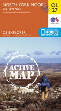
North York Moors - Eastern Area
Ordnance Survey
In Stock - usually despatched within 24 hours
Format: Book (Sheet map, folded)
Ben Nevis and Fort William, the Mamores and the Grey Corries, Kinlochleven and Spean Bridge
Ordnance Survey
In Stock - usually despatched within 24 hours
Format: Book (Sheet map, folded)
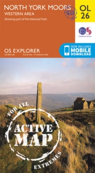
North York Moors - Western Area
Ordnance Survey
In Stock - usually despatched within 24 hours
Format: Book (Sheet map, folded)
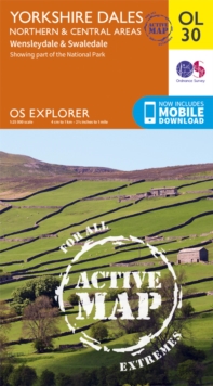
Yorkshire Dales Northern & Central
Ordnance Survey
In Stock - usually despatched within 24 hours
Format: Book (Sheet map, folded)
The Peak District : Dark Peak Area
In Stock - usually despatched within 24 hours
Format: Book (Sheet map, folded)
Purbeck & South Dorset, Poole, Dorchester, Weymouth & Swanage
Ordnance Survey
In Stock - usually despatched within 24 hours
Format: Book (Sheet map, folded)
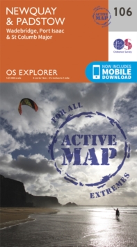
Newquay and Padstow
Ordnance Survey
In Stock - usually despatched within 24 hours
Format: Book (Sheet map, folded)
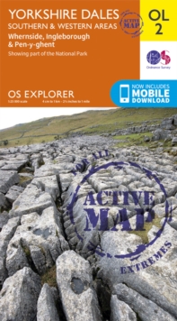
Yorkshire Dales South & Western
Ordnance Survey
In Stock - usually despatched within 24 hours
Format: Book (Sheet map, folded)
South Pembrokeshire / De Sir Benfro
Ordnance Survey
In Stock - usually despatched within 24 hours
Format: Book (Sheet map, folded)
The English Lakes North-Eastern Area : Penrith, Patterdale & Caldbeck
In Stock - usually despatched within 24 hours
Format: Book (Sheet map, folded)
Lakes SE
Ordnance Survey
In Stock - usually despatched within 24 hours
Format: Book (Sheet map, folded)
The English Lakes North Western Area : Keswick, Cockermouth & Wigton
In Stock - usually despatched within 24 hours
Format: Book (Sheet map, folded)
Glens of Antrim
Ordnance Survey of Northern Ireland
In Stock - usually despatched within 24 hours
Format: Book (Sheet map, folded)
South Devon, Brixham to Newton Ferrers
Ordnance Survey
In Stock - usually despatched within 24 hours
Format: Book (Sheet map, folded)
Abingdon, Wantage and Vale of White Horse
Ordnance Survey
In Stock - usually despatched within 24 hours
Format: Book (Sheet map, folded)
Exmoor, Barnstaple, Lynton, Minehead & Dulverton
Ordnance Survey
In Stock - usually despatched within 24 hours
Format: Book (Sheet map, folded)
South Pennines, Burnley, Hebden Bridge, Keighley & Todmorden
Ordnance Survey
In Stock - usually despatched within 24 hours
Format: Book (Sheet map, folded)
Land's End : Penzance & St Ives
In Stock - usually despatched within 24 hours
Format: Book (Sheet map, folded)
Strangford Lough
Ordnance Survey of Northern Ireland
In Stock - usually despatched within 24 hours
Format: Book (Sheet map, folded)

