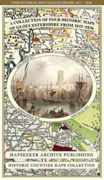
Gloucestershire 1611 - 1836 - Fold Up Map that features a collection of Four Historic Maps, John Speed's County Map 1611, Johan Blaeu's County Map of 1648, Thomas Moules County Map of 1836 and a Plan
Mapseeker Publishing Ltd.
In Stock - usually despatched within 24 hours
Format: Book (Sheet map, folded)
Kent County 1611 - 1836 - Fold Up Map that features a collection of Four Historic Maps, John Speed's County Map 1611, Johan Blaeu's County Map of 1648, Thomas Moules County Map of 1836 and a Plan of C
Mapseeker Publishing Ltd.
In Stock - usually despatched within 24 hours
Format: Book (Sheet map, folded)
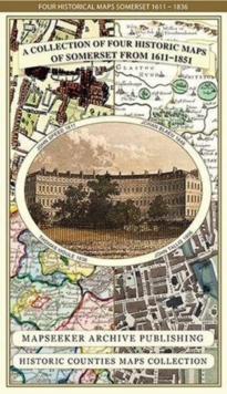
Somersetshire 1611 - 1836 - Fold Up Map that features a collection of Four Historic Maps, John Speed's County Map 1611, Johan Blaeu's County Map of 1648, Thomas Moules County Map of 1836 and a Plan of
Mapseeker Publishing Ltd.
In Stock - usually despatched within 24 hours
Format: Book (Sheet map, flat)
Land's End and Isles of Scilly
In Stock - usually despatched within 24 hours
Format: Book (Sheet map, folded)
Birmingham and Wolverhampton
In Stock - usually despatched within 24 hours
Format: Book (Sheet map, folded)
A Landscape History of Stratford-upon-Avon (1828-1921) - LH3-151 : Three Historical Ordnance Survey Maps
Item not Available
Format: Book (Sheet map, folded)
£24.99
£17.19
Item not Available
Book (Sheet map, folded)


