Modern Venice Map : Guide to 20th Century Architecture in Venice, Italy
Marco Mulazzani
In Stock - usually despatched within 24 hours
Format: Book (Sheet map, folded)
Chichester A-Z Pocket Street Map
A-Z Maps
In Stock - usually despatched within 24 hours
Format: Book (Sheet map, folded)
North Harris and Loch Seaforth/Ceann a Tuath Na Hearadh Agus Loch Shiphoirt
Ordnance Survey
In Stock - usually despatched within 24 hours
Format: Book (Sheet map, folded)
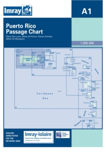
Imray Iolaire Chart A1 : Puerto Rico Passage Chart
Imray
In Stock - usually despatched within 24 hours
Format: Book (Sheet map)
North Lewis/Ceann a Tuath Leodhais
Ordnance Survey
In Stock - usually despatched within 24 hours
Format: Book (Sheet map, folded)
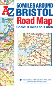
50 Miles around Bristol A-Z Road Map
A-Z maps
In Stock - usually despatched within 24 hours
Format: Book (Sheet map, folded)
South Harris/Ceann a Deas Na Hearadh
Ordnance Survey
In Stock - usually despatched within 24 hours
Format: Book (Sheet map, folded)
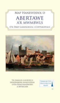
Map Hanesyddol o Abertawe a Mwmbwls : tref ganoloesol i Copropolis
Matthew Stevens
In Stock - usually despatched within 24 hours
Format: Book (Sheet map, folded)
Mont-Blanc (Pays du) - Aravis - Chamonix - Courmayeur : A1
In Stock - usually despatched within 24 hours
Format: Book (Sheet map, folded)
Newport and Pontypool / Casnewydd a Phont-Y-Pwl
Ordnance Survey
In Stock - usually despatched within 24 hours
Format: Book (Sheet map, folded)
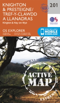
Knighton and Presteigne Tref-y-Clawdd a Dyffryn Elan
Ordnance Survey
In Stock - usually despatched within 24 hours
Format: Book (Sheet map, folded)
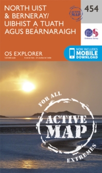
North Uist and Berneray/Uibhist a Tuath Agus Bearnaraigh
Ordnance Survey
In Stock - usually despatched within 24 hours
Format: Book (Sheet map, folded)
Cardiff and Bridgend/Caerdydd a Phen-y-Bont Ar Ogwr
Ordnance Survey
In Stock - usually despatched within 24 hours
Format: Book (Sheet map, folded)
Presteigne & Hay-on-Wye / Llanandras A'r Gelli Gandryll
Ordnance Survey
In Stock - usually despatched within 24 hours
Format: Book (Sheet map, folded)
Braemar, Tomintoul & Glen Avon, Beinn a' Bhuird & Ben Avon
Ordnance Survey
In Stock - usually despatched within 24 hours
Format: Book (Sheet map, folded)
A Oxfordshire 1611 - 1836 - Fold Up Map that features a collection of Four Historic Maps, John Speed's County Map 1611, Johan Blaeu's County Map of 1648, Thomas Moules County Map of 1836 and a Plan of
Mapseeker Publishing Ltd.
In Stock - usually despatched within 24 hours
Format: Book (Sheet map, folded)
Benbecula and South Uist/Beinn Na Faoghla Agus Uibhist a Deas
Ordnance Survey
In Stock - usually despatched within 24 hours
Format: Book (Sheet map, folded)
North Harris and Loch Seaforth/Ceann a Tuath Na Hearadh Agus Loch Shiphoirt
Ordnance Survey
In Stock - usually despatched within 24 hours
Format: Book (Sheet map, folded)
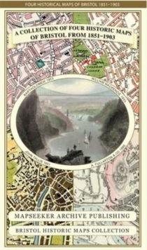
A Bristol 1851-1903 - Fold up Map that consists of Four Detailed Street Plans, Bristol 1851 by John Tallis, 1866 by A Fullarton, 1893 by William MacKenzie and 1903 by Bartholomew.
Mapseeker Publishing Ltd.
In Stock - usually despatched within 24 hours
Format: Book (Sheet map, folded)
South & Mid Wales : De A Chanolbarth Cymru
In Stock - usually despatched within 24 hours
Format: Book (Sheet map, folded)
Central Liverpool 1890 : La106.14a
Kay Parrott
In Stock - usually despatched within 24 hours
Format: Book (Sheet map, folded)
Central Birmingham 1888 : Warwickshire Sheet 14.05a
Barrie Trinder
In Stock - usually despatched within 24 hours
Format: Book (Sheet map, folded)
Hampshire 1610 - 1836 - Fold Up Map that features a collection of Four Historic Maps, John Speed's County Map 1611, Johan Blaeu's County Map of 1648, Thomas Moules County Map of 1836 and a Plan of Win
Mapseeker Publishing Ltd.
In Stock - usually despatched within 24 hours
Format: Book (Sheet map, folded)
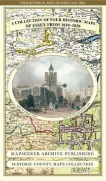
Essex 1610 - 1836 - Fold Up Map that features a collection of Four Historic Maps, John Speed's County Map 1610, Johan Blaeu's County Map of 1648, Thomas Moules County Map of 1836 and a Plan of Colches
Mapseeker Publishing Ltd.
In Stock - usually despatched within 24 hours
Format: Book (Sheet map, folded)


