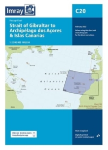
Imray Chart C20 : Strait of Gibraltar to Archipelago dos Acores & Islas Canarias Passage Chart
Imray
In Stock - usually despatched within 24 hours
Format: Book (Sheet map, folded)
G1 Mainland Greece and the Peloponnisos : Passage Chart
In Stock - usually despatched within 24 hours
Format: Book (Sheet map, folded)
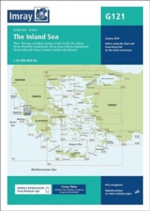
Imray Chart G121 : The Inland Sea
Imray
In Stock - usually despatched within 24 hours
Format: Book (Sheet map, folded)
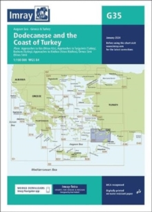
Imray Chart G35 : Dodecanese and the Coast of Turkey
Imray
In Stock - usually despatched within 24 hours
Format: Book (Sheet map, folded)
Imray Chart G32 : Eastern Sporades, Dodecanese & the Coast of Turkey
Imray
In Stock - usually despatched within 24 hours
Format: Book (Sheet map, folded)
Imray Chart C2 : The River Thames
Imray
In Stock - usually despatched within 24 hours
Format: Book (Sheet map, folded)
Imray Chart Y14 : The Swale (Small Format)
Imray
In Stock - usually despatched within 24 hours
Format: Book (Sheet map, folded)
Imray Chart Y18 : The River Medway and Approaches
Imray
In Stock - usually despatched within 24 hours
Format: Book (Sheet map, folded)
Harry Potters London the Film Location Walk : Includes Three Self-Guided Walks with Maps
Paul Garner
In Stock - usually despatched within 24 hours
Format: Book (Sheet map, folded)
The Cotswolds, Burford, Chipping Campden, Cirencester & Stow-on-the Wold
Ordnance Survey
In Stock - usually despatched within 24 hours
Format: Book (Sheet map, folded)
South Downs, The New Forest, and The Isle of Wight Cycle Map 4 : Including Avenue Verte and Dover to St Austell
In Stock - usually despatched within 24 hours
Format: Book (Sheet map, folded)
Somerset Levels and Dorset Downs Cycle Map 3 : Including The Wessex Cycleway and The Strawberry Line
In Stock - usually despatched within 24 hours
Format: Book (Sheet map, folded)
East Anglia Cycle Map 13 : Including sections of The Varsity Way and Dover to Tain
In Stock - usually despatched within 24 hours
Format: Book (Sheet map, folded)
Kent and East Sussex Cycle Map 5 : Including the Southern most sections of Dover to Tain
In Stock - usually despatched within 24 hours
Format: Book (Sheet map, folded)
Walker's Haute Route: Chamonix to Zermatt : Trekking Map - The Great Treks of the Alps
Andrew McCluggage
In Stock - usually despatched within 24 hours
Format: Book (Sheet map, folded)
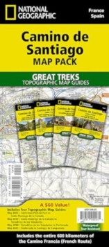
Camino de Santiago Map Map Pack Bundle : 4 map pack for the whole route
National Geographic Maps
In Stock - usually despatched within 24 hours
Format: Book (Sheet map, folded)
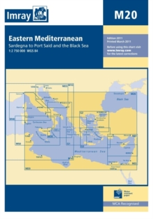
Imray Chart M20 : Eastern Mediterranean
Imray
In Stock - usually despatched within 24 hours
Format: Book (Sheet map, folded)
Imray Chart C20 : Strait of Gibraltar to Arquipelago dos Acores and Islas Canaries
Imray
Item not Available
Format: Book (Sheet map, folded)
£19.95
£19.55
Item not Available
Book (Sheet map, folded)
Imray Chart M20 : Eastern Medeiterranean Passage Chart - Sardinia to Cyprus and Port Said
Imray
Item not Available
Format: Book (Sheet map, folded)
£17.95
£15.89
Item not Available
Book (Sheet map, folded)
The Peak District : White Peak Area
In Stock - usually despatched within 24 hours
Format: Book (Sheet map, folded)
Folkestone A-Z Pocket Street Map
A-Z Maps
In Stock - usually despatched within 24 hours
Format: Book (Sheet map, folded)
Chiltern Hills West, Henley-on-Thames and Wallingford
Ordnance Survey
In Stock - usually despatched within 24 hours
Format: Book (Sheet map, folded)
Chippenham and Bradford-on-Avon
Ordnance Survey
In Stock - usually despatched within 24 hours
Format: Book (Sheet map, folded)
