Brecon Beacons
Ordnance Survey
In Stock - usually despatched within 24 hours
Format: Book (Paperback / softback)
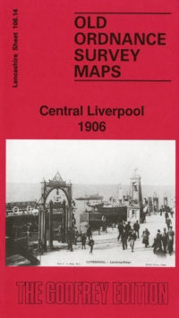
Central Liverpool 1906 : Lancashire Sheet 106.14
Kay Parrott
In Stock - usually despatched within 24 hours
Format: Book (Sheet map, folded)
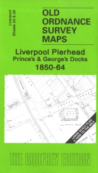
Liverpool Pierhead, Prince's and George's Docks 1850-64 : Liverpool Sheets 23 and 28
Kay Parrott
In Stock - usually despatched within 24 hours
Format: Book (Sheet map, folded)
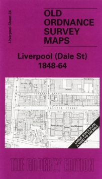
Liverpool (Dale Street) 1848-64 : Liverpool Sheet 24
Kay Parrott
In Stock - usually despatched within 24 hours
Format: Book (Sheet map, folded)
Liverpool (Hanover Street) 1864 : Liverpool Sheet 29
Kay Parrott
In Stock - usually despatched within 24 hours
Format: Book (Sheet map, folded)
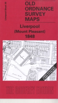
Liverpool (Mount Pleasant) 1848 : Liverpool Sheet 30
Kay Parrott
In Stock - usually despatched within 24 hours
Format: Book (Sheet map, folded)
Edge Hill 1905 : Lancashire Sheet 106.15
Kay Parrott
In Stock - usually despatched within 24 hours
Format: Book (Sheet map, folded)
Liverpool (London Road) 1848-64 : Liverpool Sheet 25
Kay Parrott
In Stock - usually despatched within 24 hours
Format: Book (Sheet map, folded)
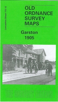
Garston 1904 : Lancashire Sheet 113.12
Kay Parrott
In Stock - usually despatched within 24 hours
Format: Book (Sheet map, folded)
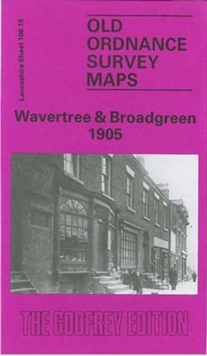
Wavertree and Broadgreen 1905 : Lancashire Sheet 106.16
Kay Parrott
In Stock - usually despatched within 24 hours
Format: Book (Sheet map, folded)
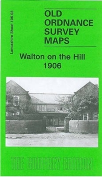
Walton on the Hill 1906 : Lancashire Sheet 106.03
Kay Parrott
In Stock - usually despatched within 24 hours
Format: Book (Sheet map, folded)
Neston and Parkgate 1909 : Cheshire Sheet 22.14
Kay Parrott
In Stock - usually despatched within 24 hours
Format: Book (Sheet map, folded)
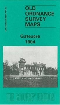
Gateacre 1904 : Lancashire Sheet 114.01
Kay Parrott
In Stock - usually despatched within 24 hours
Format: Book (Sheet map, folded)
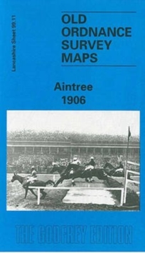
Aintree 1906 : Lancashire Sheet 99.11
Kay Parrott
In Stock - usually despatched within 24 hours
Format: Book (Sheet map, folded)
Knotty Ash and Old Swan 1906 : Lancashire Sheet 106.12
Kay Parrott
Out of stock
Format: Book (Sheet map, folded)
Woolton 1904 : Lancashire Sheet 114.05
Kay Parrott
Out of Stock - We are unable to provide an estimated availability date for this product
Format: Book (Sheet map, folded)
£3.50
Out of Stock - We are unable to provide an estimated availability date for this product
Book (Sheet map, folded)
Add to BasketNew Forest, Southampton, Ringwood, Ferndown, Lymington, Christchurch and Bournemouth
Ordnance Survey
Item not Available
Format: Book (Sheet map, folded)
£8.99
£7.15
Item not Available
Book (Sheet map, folded)
Isle of Wight, Cowes, Newport, Ryde, Sandown, Shanklin, Yarmouth & Ventnor
Ordnance Survey
Item not Available
Format: Book (Sheet map, folded)
£8.99
£7.89
Item not Available
Book (Sheet map, folded)
North Pembrokeshire / Gogledd Sir Benfro
Ordnance Survey
Item not Available
Format: Book (Sheet map, folded)
£8.99
£7.09
Item not Available
Book (Sheet map, folded)
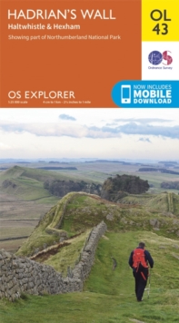
Hadrian's Wall, Haltwhistle & Hexham
Ordnance Survey
Item not Available
Format: Book (Sheet map, folded)
£8.99
£6.95
Item not Available
Book (Sheet map, folded)
£8.99
£7.15
Item not Available
Book (Sheet map, folded)
£8.99
£7.39
Item not Available
Book (Sheet map, folded)
Alnwick & Morpeth, Rothbury & Amble
Ordnance Survey
Item not Available
Format: Book (Sheet map, folded)
£8.99
£7.89
Item not Available
Book (Sheet map, folded)
Truro & Falmouth, Roseland Peninsula
Ordnance Survey
Item not Available
Format: Book (Sheet map, folded)
£8.99
£7.15
Item not Available
Book (Sheet map, folded)

