The Mathematics Playbook : Implementing What Works Best in the Classroom
John T. Almarode
Out of stock
Format: Book (Spiral bound)
The Teacher Clarity Playbook, Grades K-12 : A Hands-On Guide to Creating Learning Intentions and Success Criteria for Organized, Effective Instruction
Douglas Fisher
Out of stock
Format: Book (Spiral bound)
Handbook of Radiographic Positioning and Techniques
John (Retired Director Gateway Community College Phoenix, Lampignano
Pre-Order
Format: Book (Spiral bound)
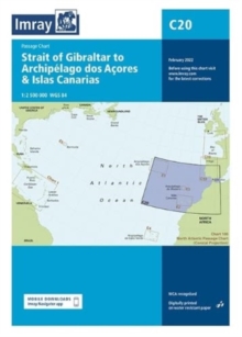
Imray Chart C20 : Strait of Gibraltar to Archipelago dos Acores & Islas Canarias Passage Chart
Imray
In Stock - usually despatched within 24 hours
Format: Book (Sheet map, folded)
John Muir Way : a Scottish coast-to-coast route
Sandra Bardwell
Out of stock
Format: Book (Sheet map, folded)
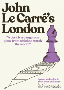
John Le Carre's London : A map and guide to the Circus and more
Herb Lester Associates
In Stock - usually despatched within 24 hours
Format: Book (Sheet map, folded)
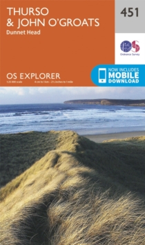
Thurso and John O'Groats
Ordnance Survey
In Stock - usually despatched within 24 hours
Format: Book (Sheet map, folded)
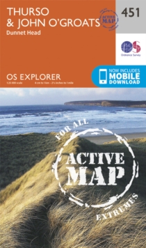
Thurso & Wick, John O'Groats
Ordnance Survey
In Stock - usually despatched within 24 hours
Format: Book (Sheet map, folded)
Thurso and John O'Groats
Ordnance Survey
In Stock - usually despatched within 24 hours
Format: Book (Sheet map, folded)
Dandelion Launchers Workbook Reading and Writing Activities for Units 16-20
Clair Baker
In Stock - usually despatched within 24 hours
Format: Book (Spiral bound)
City of Women New York City Subway Wall Map (20 x 20 Inches)
Rebecca Solnit
In Stock - usually despatched within 24 hours
Format: Book (Sheet map, rolled)
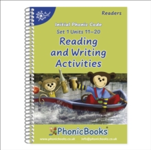
Phonic Books Dandelion Readers Reading and Writing Activities Set 1 Units 11-20 : Consonant digraphs and simple two-syllable words
Phonic Books
In Stock - usually despatched within 24 hours
Format: Book (Spiral bound)
John Hancox's Map of the Birmingham Canal Navigations 1864
John Hancox
In Stock - usually despatched within 24 hours
Format: Book (Sheet map, folded)
Kent: Cycling Country Lanes & Traffic Free Family Routes
John Rose
In Stock - usually despatched within 24 hours
Format: Book (Sheet map, folded)
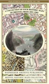
A Bristol 1851-1903 - Fold up Map that consists of Four Detailed Street Plans, Bristol 1851 by John Tallis, 1866 by A Fullarton, 1893 by William MacKenzie and 1903 by Bartholomew.
Mapseeker Publishing Ltd.
In Stock - usually despatched within 24 hours
Format: Book (Sheet map, folded)
Cambridgeshire 1611 - 1836 - Fold Up Map that includes Four Historic Maps of Cambridgeshire, John Speed's County Map of 1611, Johan Blaeu's County Map of 1648, Thomas Moule's County Map of 1836 and Th
Mapseeker Publishing Ltd.
In Stock - usually despatched within 24 hours
Format: Book (Sheet map, folded)
A Oxfordshire 1611 - 1836 - Fold Up Map that features a collection of Four Historic Maps, John Speed's County Map 1611, Johan Blaeu's County Map of 1648, Thomas Moules County Map of 1836 and a Plan of
Mapseeker Publishing Ltd.
In Stock - usually despatched within 24 hours
Format: Book (Sheet map, folded)
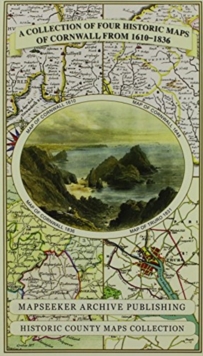
Cornwall 1611 - 1836 - Fold Up Map that features a collection of Four Historic Maps, John Speed's County Map 1611, Johan Blaeu's County Map of 1648, Thomas Moules County Map of 1836 and Robert Dawson'
Mapseeker Publishing Ltd.
In Stock - usually despatched within 24 hours
Format: Book (Sheet map, folded)
Derbyshire 1610 - 1836 - Fold Up Map that features a collection of Four Historic Maps, John Speed's County Map 1611, Johan Blaeu's County Map of 1648, Thomas Moules County Map of 1836 and Cole and Rop
Mapseeker Publishing Ltd.
In Stock - usually despatched within 24 hours
Format: Book (Sheet map, folded)
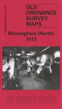
Birmingham (North) 1913 : Warwickshire Sheet 14.01
John Boynton
In Stock - usually despatched within 24 hours
Format: Book (Sheet map, folded)
Hampshire 1610 - 1836 - Fold Up Map that features a collection of Four Historic Maps, John Speed's County Map 1611, Johan Blaeu's County Map of 1648, Thomas Moules County Map of 1836 and a Plan of Win
Mapseeker Publishing Ltd.
In Stock - usually despatched within 24 hours
Format: Book (Sheet map, folded)


