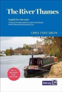
The River Thames : Including the River Wey, Basingstoke Canal and Kennet and Avon Canal
Imray
In Stock - usually despatched within 24 hours
Format: Book (Spiral bound)
Imray 2500 Chart Pack : The Channel Islands and adjacent coast of France
Imray
In Stock - usually despatched within 24 hours
Format: Book (Loose-leaf)
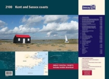
2100 Kent and Sussex Coasts Chart Pack : Thames Estuary to the Solent 2000 Chart Series
Imray
In Stock - usually despatched within 24 hours
Format: Book (Loose-leaf)
2600 Bristol Channel Chart Pack : Trevose Head to St David's Head including the River Severn
Imray
Out of stock
Format: Book (Loose-leaf)
2600 Bristol Channel Chart Pack Wirobound : Trevose Head to St David's Head including the River Severn
Imray
Out of stock
Format: Book (Spiral bound)
Imray 2150 Waddenzee - Den Helder to Norderney Chart Atlas 2020 : Including passage from Borkum to the Kiel Canal
Imray
Out of Stock - We are unable to provide an estimated availability date for this product
Format: Book (Spiral bound)
£45.00
Out of Stock - We are unable to provide an estimated availability date for this product
Book (Spiral bound)
Add to Basket


