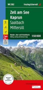
Zell am See - Kaprun Hiking, Cycling and Leisure Map : 1:50,000 scale 382
In Stock - usually despatched within 24 hours
Format: Book (Sheet map, folded)
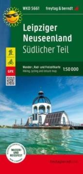
Leipziger Neuseenland - southern part, hiking, cycling and leisure map 1:50,000, freytag & berndt, WKD 5661
In Stock - usually despatched within 24 hours
Format: Book (Sheet map, folded)
Uzbekistan (1:1.000.000)
In Stock - usually despatched within 24 hours
Format: Book (Sheet map, folded)
Wainwright Maps of the Lakeland Fells : Southern Fells Map 4
Alfred Wainwright
In Stock - usually despatched within 24 hours
Format: Book (Sheet map, folded)
Sri Lanka (1:500.000)
In Stock - usually despatched within 24 hours
Format: Book (Sheet map, folded)
Wainwright Maps of the Lakeland Fells : Far Eastern Fells Map 2
Alfred Wainwright
In Stock - usually despatched within 24 hours
Format: Book (Sheet map, folded)
Southern France (1:425.000)
In Stock - usually despatched within 24 hours
Format: Book (Sheet map, folded)
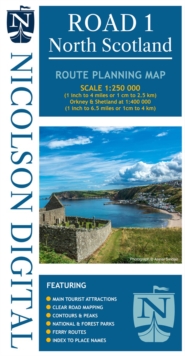
Nicolson Road 1, North Scotland : Orkney & Shetland
M. V. Nicolson
In Stock - usually despatched within 24 hours
Format: Book (Sheet map, folded)
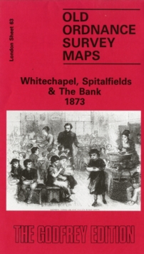
Whitechapel, Spitalfields and the Bank 1873 : London Sheet 063.1
Alan Godfrey
In Stock - usually despatched within 24 hours
Format: Book (Sheet map, folded)
Cleveland Way National Trail Official Map : With Ordnance Survey Mapping
A-Z maps
In Stock - usually despatched within 24 hours
Format: Book (Paperback / softback)
Drive Your Adventure Norway
Clemence Polge
In Stock - usually despatched within 24 hours
Format: Book (Paperback / softback)
£22.50
£18.29
In Stock - usually despatched within 24 hours
Book (Paperback / softback)
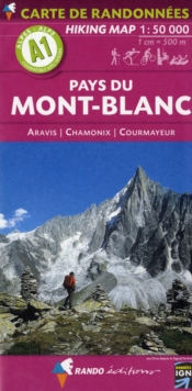
Add to BasketMont-Blanc (Pays du) - Aravis - Chamonix - Courmayeur : A1
In Stock - usually despatched within 24 hours
Format: Book (Sheet map, folded)
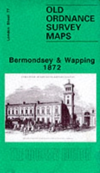
Bermondsey and Wapping 1872 : London Sheet 077.1
Stephen Humphrey
In Stock - usually despatched within 24 hours
Format: Book (Sheet map, folded)
South West Coast Path Map Booklet - Vol 2: St Ives to Plymouth : 1:25,000 OS Route Mapping
Paddy Dillon
In Stock - usually despatched within 24 hours
Format: Book (Paperback / softback)
£12.95
£10.79
In Stock - usually despatched within 24 hours
Book (Paperback / softback)
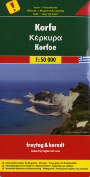
Add to BasketCorfu, Special Places of Excursion Road Map 1:50 000
In Stock - usually despatched within 24 hours
Format: Book (Sheet map, folded)
Isle of Anglesey Coast Path Map : 1:25,000 scale Ordnance Survey mapping for the entire Isle of Anglesey Coast Path
In Stock - usually despatched within 24 hours
Format: Book (Pamphlet)
Rotherhithe 1867 : London Sheet 078.1
Bernard Nurse
In Stock - usually despatched within 24 hours
Format: Book (Sheet map, folded)
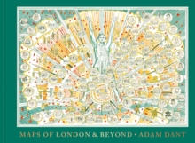
Maps of London and Beyond
Adam Dant
In Stock - usually despatched within 24 hours
Format: Book (Hardback)
The Coast to Coast Map Booklet : 1:25,000 OS Route Map Booklet
Terry Marsh
In Stock - usually despatched within 24 hours
Format: Book (Paperback / softback)
£12.95
£10.79
In Stock - usually despatched within 24 hours
Book (Paperback / softback)
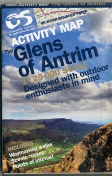
Add to BasketGlens of Antrim
Ordnance Survey of Northern Ireland
In Stock - usually despatched within 24 hours
Format: Book (Sheet map, folded)
Strangford Lough
Ordnance Survey of Northern Ireland
In Stock - usually despatched within 24 hours
Format: Book (Sheet map, folded)
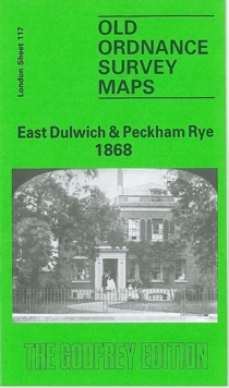
East Dulwich and Peckham Rye 1868 : London Sheet 117.1
Mary Boast
In Stock - usually despatched within 24 hours
Format: Book (Sheet map, folded)
