South Pembrokeshire / De Sir Benfro
Ordnance Survey
In Stock - usually despatched within 24 hours
Format: Book (Sheet map, folded)
The English Lakes North-Eastern Area : Penrith, Patterdale & Caldbeck
In Stock - usually despatched within 24 hours
Format: Book (Sheet map, folded)
Lakes SE
Ordnance Survey
In Stock - usually despatched within 24 hours
Format: Book (Sheet map, folded)
The English Lakes North Western Area : Keswick, Cockermouth & Wigton
In Stock - usually despatched within 24 hours
Format: Book (Sheet map, folded)
Glens of Antrim
Ordnance Survey of Northern Ireland
In Stock - usually despatched within 24 hours
Format: Book (Sheet map, folded)
Brecon Beacons National Park / Parc Cenedlaethol Bannau Brycheiniog - Eastern Area / Ardal Ddwyreiniol
Ordnance Survey
In Stock - usually despatched within 24 hours
Format: Book (Sheet map, folded)
South Pennines, Burnley, Hebden Bridge, Keighley & Todmorden
Ordnance Survey
In Stock - usually despatched within 24 hours
Format: Book (Sheet map, folded)
Abingdon, Wantage and Vale of White Horse
Ordnance Survey
In Stock - usually despatched within 24 hours
Format: Book (Sheet map, folded)
Exmoor, Barnstaple, Lynton, Minehead & Dulverton
Ordnance Survey
In Stock - usually despatched within 24 hours
Format: Book (Sheet map, folded)
Land's End : Penzance & St Ives
In Stock - usually despatched within 24 hours
Format: Book (Sheet map, folded)
Strangford Lough
Ordnance Survey of Northern Ireland
In Stock - usually despatched within 24 hours
Format: Book (Sheet map, folded)
Lyme Regis and Bridport
Ordnance Survey
In Stock - usually despatched within 24 hours
Format: Book (Sheet map, folded)
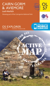
Cairn Gorm & Aviemore, Loch Morlich
Ordnance Survey
In Stock - usually despatched within 24 hours
Format: Book (Sheet map, folded)
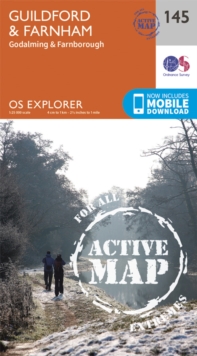
Guildford and Farnham
Ordnance Survey
In Stock - usually despatched within 24 hours
Format: Book (Sheet map, folded)
Harlech : Porthmadog & Bala / Y Bala
In Stock - usually despatched within 24 hours
Format: Book (Sheet map, folded)
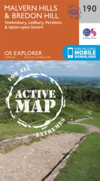
Malvern Hills and Bredon Hill
Ordnance Survey
In Stock - usually despatched within 24 hours
Format: Book (Sheet map, folded)
The Cotswolds, Burford, Chipping Campden, Cirencester & Stow-on-the Wold
Ordnance Survey
In Stock - usually despatched within 24 hours
Format: Book (Sheet map, folded)
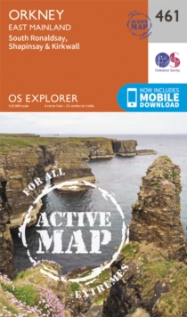
Orkney - East Mainland
Ordnance Survey
In Stock - usually despatched within 24 hours
Format: Book (Sheet map, folded)
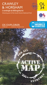
Crawley & Horsham, Cranleigh & Billingshurst
Ordnance Survey
In Stock - usually despatched within 24 hours
Format: Book (Sheet map, folded)
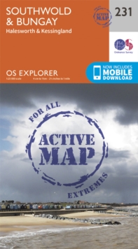
Southwold and Bungay
Ordnance Survey
In Stock - usually despatched within 24 hours
Format: Book (Sheet map, folded)
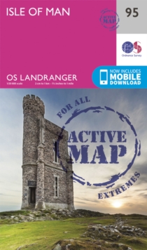
Isle of Man
Ordnance Survey
In Stock - usually despatched within 24 hours
Format: Book (Sheet map, folded)
Penrith & Keswick
Ordnance Survey
In Stock - usually despatched within 24 hours
Format: Book (Sheet map, folded)
Lower Wharfedale and Washburn Valley
Ordnance Survey
In Stock - usually despatched within 24 hours
Format: Book (Sheet map, folded)
