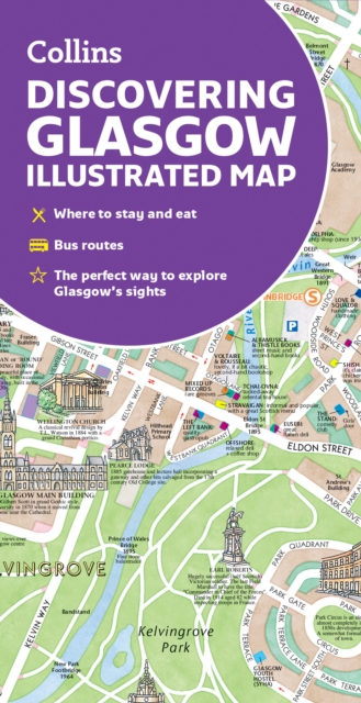
Discovering Glasgow Illustrated Map : Ideal for Exploring Sheet map, folded
by Dominic Beddow, Collins Maps
Sheet map, folded
Description
Explore new places with dependable maps from Collins. As the largest city in Scotland, Glasgow is a vibrant and bustling hub, enjoyed by thousands of visitors each year.
This updated map displays delightful water-colour mapping, and includes individual illustrations of all the main sights and landmarks in the city. Covers the centre of Glasgow from the Botanic Gardens in the north and the Riverside Museum to the west to the 12th century Cathedral and the gritty Barras Market to the east. Further mapping stretches southwest to Pollok Park and the newly refurbished Burrell Collection. The map features: Historical and contemporary anecdotesPopular areas at larger scale, hundreds of shops, restaurants, cafés and barsComprehensive travel information and indexShop-by-shop street maps of Buchanan Street and the Merchant CityRailway stations, taxi ranks and car parksBus routes shown for tour companies and airport linksBeautiful illustrations of Glasgow’s top sights The perfect companion or souvenir for visitors to Glasgow.
Information
-
Less than 10 available - usually despatched within 24 hours
- Format:Sheet map, folded
- Pages:2 pages
- Publisher:HarperCollins Publishers
- Publication Date:02/03/2023
- Category:
- ISBN:9780008602901
Information
-
Less than 10 available - usually despatched within 24 hours
- Format:Sheet map, folded
- Pages:2 pages
- Publisher:HarperCollins Publishers
- Publication Date:02/03/2023
- Category:
- ISBN:9780008602901


