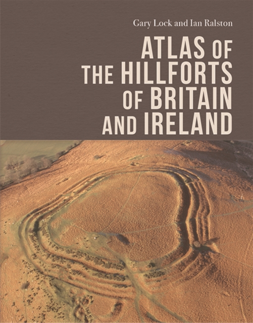
Atlas of the Hillforts of Britain and Ireland PDF
by Gary Lock, Ian B. M. Ralston
Description
The hillforts of five countries thoroughly mapped, described and explained
- Comprehensive coverage of sites across England, Scotland, Wales, Northern Ireland and the Republic of Ireland
- Includes 308 illustrations and 70 tables
- Supplementary tables for the maps are available to download from the resources tab below
- Visit the interactive database of hillforts
This book provides the first comprehensive series of maps of the hillforts of Britain and Ireland, with accompanying commentaries and broader overviews which interpret the survival and detection of this evidence in its later prehistoric and early historic contexts. The authors expertly assess and analyse the available evidence for over 4,000 hillforts from Shetland to Cornwall to County Clare to a single standard and present their findings in both map and descriptive form. Further detailed information is available to search online via the resources tab, below.
Information
-
Download - Immediately Available
- Format:PDF
- Pages:496 pages
- Publisher:Edinburgh University Press
- Publication Date:05/01/2022
- Category:
- ISBN:9781474447140
Other Formats
- Hardback from £137.45
- EPUB from £131.75
Information
-
Download - Immediately Available
- Format:PDF
- Pages:496 pages
- Publisher:Edinburgh University Press
- Publication Date:05/01/2022
- Category:
- ISBN:9781474447140


