Bradshaw's Railway Map Great Britain and Ireland 1852 Sheet map, folded
by George Bradshaw, Mapseeker Publishing Ltd.
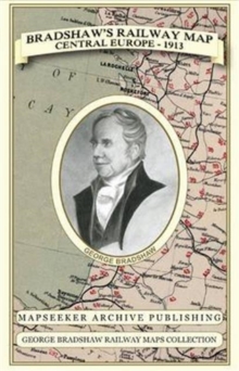
Part of the George Bradshaw Railway Maps Collection series
Sheet map, folded
Description
Especially for those who have obtained the recent facsimile copy of George Bradshaw's tourist's guide book.
This detailed and attractive map clearly shows the many railways that had been built at the height of "Railway Mania" along with hundreds of railway stations throughout Great Britain and Ireland, allowing the enthusiast to follow the routes from a bygone age. Originally published in 1852 by Bradshaw and Blacklock it has now been art worked and re-mastered.
George Bradshaw's Railway Map of Great Britain and Ireland is a visual record of when train travel was at its height - when railways were really golden - and his guides burst with pride about them.
George Bradshaw's map also illustrates the eight "Environs" plans of London, Birmingham, Manchester, Leeds, Liverpool, Glasgow, Edinburgh and Dublin. The paper stock used in this series of historic mapping is of a high quality developed especially for the printing of detailed mapping.
The 90 gsm "Progeo" paper was specially developed as a map paper.
It has high opacity to help reduce show through and a cross grain giving it greater durability as the map is being folded.
Information
-
Less than 10 available - usually despatched within 24 hours
- Format:Sheet map, folded
- Pages:1 pages
- Publisher:Historical Images Ltd
- Publication Date:31/01/2013
- Category:
- ISBN:9781844918041
£19.99
£17.75
Information
-
Less than 10 available - usually despatched within 24 hours
- Format:Sheet map, folded
- Pages:1 pages
- Publisher:Historical Images Ltd
- Publication Date:31/01/2013
- Category:
- ISBN:9781844918041