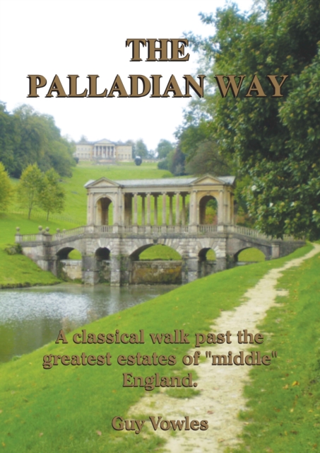
The Palladian Way : A Classical Walk Past the Greatest Estates of "Middle" England Paperback / softback
by Guy Vowles
Edited by Nicholas Reardon
Part of the Walkabout series
Paperback / softback
Description
The Palladian Way is the brainchild of Cotswold walker Guy Vowles.
It was born out of a previous idea for a long distance walk between Oxford and Bath but was extended northwards to Buckingham where the author was educated nearby.
The realization that there was a Palladian bridge at Prior Park outside Bath to match the one at Stowe suggested a suitable title and the discovery of many classical houses and large estates along the route has helped to make the trail more than just another long walk.
The majority of this 200km (125m) trail passes through beautiful countryside and many interesting villages with a wealth of historical background so that walkers can discover parts of England they would not normally visit. THE MAKING OF A LONG DISTANCE TRAIL The inspiration for a new long distance walk can come from many sources.
In my case it was a loan of a book. "The Wayfarers Journal" is an elaborate production describing a number of routes which a small, rather quirky group of men who called themselves the "Viators" (Latin for "the travellers") started walking in the 1950s.
They researched their routes and kept records. Some 30 years later a chance meeting with a journalist one lunch time at a pub close to Hadrian's Wall, led eventually to publication. Many of their walks or "iters" had Roman connections and ITER XXXVI particularly interested me.
The cover pages contain a map of a route "South Cotswolds-Bath to Oxford 108 miles" but unfortunately there is no descriptive text.
The book is out of print but I managed to acquire a copy and transposed the route on to modern OS maps.
One January I set off to walk the first three days from Oxford.
Their route was quite convoluted and I soon decided that I could plan something more interesting.
I started the first walk over with a good friend with whom I had walked the length of Scotland and England a few years previously.
We left Oxford via the tow path of the Oxford canal which we found to be rather unattractive with some of the houseboats described by my friend as "sinking assetsA".
He also enquired about the length of the intended new route which now fell short of the magic 100 mile mark. By coincidence, about the same time, I was talking to another friend about my old school, Stowe, and he commented that his own old school, Prior Park, also had a Palladian bridge in the grounds.
This was an eye opener to me and set me thinking. Stowe is north of Oxford and a route via Woodstock and Blenheim would not only avoid the difficulties around Oxford but would also take the distance down to Prior Park and Bath to over the 100 mile distance.
Information
-
Only a few left - usually despatched within 24 hours
- Format:Paperback / softback
- Pages:132 pages, Full Colour Maps and Photographs throughout
- Publisher:Reardon Publishing
- Publication Date:28/04/2011
- Category:
- ISBN:9781874192497
Information
-
Only a few left - usually despatched within 24 hours
- Format:Paperback / softback
- Pages:132 pages, Full Colour Maps and Photographs throughout
- Publisher:Reardon Publishing
- Publication Date:28/04/2011
- Category:
- ISBN:9781874192497


