Sheet map, folded
Description
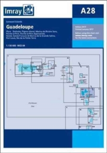
Plans included:Tyrrel Bay (Carriacou) (1:17 500)Grenada Bay (1:30 000)Grenville Harbour (1:15 000)Grenada - Southeast Coast (1:45 000)Grenada - South Coast (1:40 000)Saint George's Harbour (1:12 500)On this 2017 edition, a new large scale plan of the South East coast of Grenada is included covering Great Bacolet Point to Marquis Point.
New ranges and recommended courses are included and existing ones have been updated.
The chart specification has been improved to show coloured light flashes.
There has been general updating throughout.
Information
-
Item not Available
- Format:Sheet map, folded
- Pages:1 pages
- Publisher:Imray, Laurie, Norie & Wilson Ltd
- Publication Date:30/08/2017
- Category:
- ISBN:9781846237058
Other Formats
- Paperback / softback from £23.25
Information
-
Item not Available
- Format:Sheet map, folded
- Pages:1 pages
- Publisher:Imray, Laurie, Norie & Wilson Ltd
- Publication Date:30/08/2017
- Category:
- ISBN:9781846237058