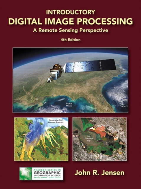
Introductory Digital Image Processing : A Remote Sensing Perspective Hardback
by John Jensen
Hardback
Description
For junior/graduate-level courses in Remote Sensing in Geography, Geology, Forestry, and Biology. Introductory Digital Image Processing: A Remote Sensing Perspective focuses on digital image processing of aircraft- and satellite-derived, remotely sensed data for Earth resource management applications.
Extensively illustrated, it explains how to extract biophysical information from remote sensor data for almost all multidisciplinary land-based environmental projects.
Part of the Pearson Series Geographic Information Science. Now in full color, the Fourth Edition provides up-to-date information on analytical methods used to analyze digital remote sensing data.
Each chapter contains a substantive reference list that can be used by students and scientists as a starting place for their digital image processing project or research.
A new appendix provides sources of imagery and other geospatial information.
Information
-
Only a few left - usually despatched within 24 hours
- Format:Hardback
- Pages:656 pages
- Publisher:Pearson Education (US)
- Publication Date:23/07/2015
- Category:
- ISBN:9780134058160
Information
-
Only a few left - usually despatched within 24 hours
- Format:Hardback
- Pages:656 pages
- Publisher:Pearson Education (US)
- Publication Date:23/07/2015
- Category:
- ISBN:9780134058160


