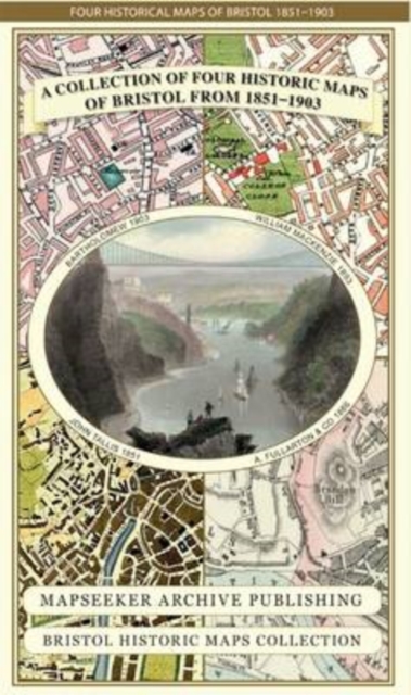
A Bristol 1851-1903 - Fold up Map that consists of Four Detailed Street Plans, Bristol 1851 by John Tallis, 1866 by A Fullarton, 1893 by William MacKenzie and 1903 by Bartholomew. Sheet map, folded
by Mapseeker Publishing Ltd.
Part of the Bristol Historic Maps Collection series
Sheet map, folded
Description
This folded map (890mm x 1000mm) is an ideal souvenir for tourists to Bristol and also a valuable reference resource for local and family history research.
It includes 4 Historic maps of Bristol, a Plan of Bristol by J.
Bartholomew 1903, a Plan of Bristol by W. Mackenzie 1893, a Plan of Bristol by John Tallis 1851, A Plan of Bristol by A.
Fullarton 1866.The maps are very detailed and show the towns and villages from the period.
All the maps have been meticulously re-produced from antique originals and printed on 90 gsm "Progeo" paper which was specially developed as a map paper.
It has high opacity to help reduce show through and a cross grain giving it greater durability to as the map is being folded.
Information
-
Less than 10 available - usually despatched within 24 hours
- Format:Sheet map, folded
- Pages:1 pages
- Publisher:Historical Images Ltd
- Publication Date:15/05/2013
- Category:
- ISBN:9781844918171
Information
-
Less than 10 available - usually despatched within 24 hours
- Format:Sheet map, folded
- Pages:1 pages
- Publisher:Historical Images Ltd
- Publication Date:15/05/2013
- Category:
- ISBN:9781844918171


