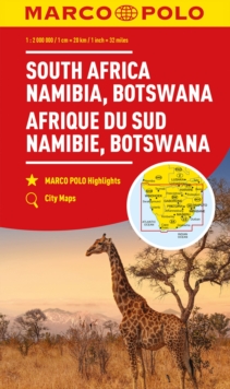
Sheet map, folded
Description
Marco Polo maps featurecompletely up-to-date, digitally generated mapping.
The high qualitycartography with distance indicators and scale converters aid route planning.Contains city maps of: Liverpool, Glasgow, Edinburgh, Birmingham, Oxford,Cambridge, London and Dublin.
A fold-out overview map is ideal for routeplanning and 7 self-adhesive Marco Polo mark-it stickers can be used topin-point a destination or route for future reference.
Scenic routes and placesof interest are highlighted - ideal for touring holidays.
Comprehensive index.The map scale is 1: 800 000.
Information
-
Item not Available
- Format:Sheet map, folded
- Pages:1 pages, Illustrations, unspecified
- Publisher:MAIRDUMONT GmbH & Co. KG
- Publication Date:06/06/2011
- Category:
- ISBN:9783829767224
Other Formats
- Sheet map, folded from £5.99
Information
-
Item not Available
- Format:Sheet map, folded
- Pages:1 pages, Illustrations, unspecified
- Publisher:MAIRDUMONT GmbH & Co. KG
- Publication Date:06/06/2011
- Category:
- ISBN:9783829767224


