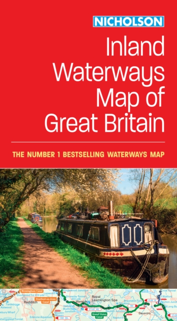
Nicholson Inland Waterways Map of Great Britain : For Everyone with an Interest in Britain’s Canals and Rivers Sheet map, folded
by Nicholson Waterways Guides
Part of the Nicholson Waterways Guides series
Sheet map, folded
Description
The best-selling guides to Britain’s canals and rivers for more than 50 years. The map companion to the Collins Nicholson Waterways Guides, covering the entire network of canal and river navigations in England, Scotland and Wales, including newly restored/opened canals and rivers. The map identifies:• narrow and broad canals• navigable rivers• tidal river navigations• waterways under construction Also:• contact telephone numbers and dimensions for each waterway• internet links Clear insets of the Birmingham Canal Navigations, Scottish inland waterways, the Norfolk Broads and the London area.
Information
-
In Stock - usually despatched within 24 hours
- Format:Sheet map, folded
- Pages:1 pages
- Publisher:HarperCollins Publishers
- Publication Date:15/02/2024
- Category:
- ISBN:9780008652876
£8.99
£8.35
Information
-
In Stock - usually despatched within 24 hours
- Format:Sheet map, folded
- Pages:1 pages
- Publisher:HarperCollins Publishers
- Publication Date:15/02/2024
- Category:
- ISBN:9780008652876


