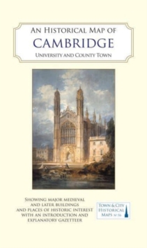
An Historical Map of York : From Medieval Times to 1850 Sheet map, flat
Edited by Peter Addyman, Giles Darkes
Part of the Town & City Historical Maps series
Sheet map, flat
Description
A full colour map based on a digitising of a large-scale map of York surveyed in 1850. The map shows the main medieval and post-medieval buildings in this attractive and interesting city including the Minster , York Castle (Clifford’s Tower), St mary’s Abbey and the well-known city walls. The map’s cover has a short introduction to the city’s history, and on the reverse of the map an illustrated gazetteer of York’s main buildings and sites of interest. Combining clear cartography and extensive research, this is a revised version of a map first published in 2012.
The new edition is presented as a cased folding map, to match those of Winchester, Oxford and Hull in the series. Of interest to historians and those who know and love York, the map charts the process of renewal and development which has shaped one of England’s most important cities.
Information
-
Out of stock
- Format:Sheet map, flat
- Pages:2 pages, coloured watercolours and oils, and early views of buildings, monuments and street scenes
- Publisher:The Historic Towns Trust
- Publication Date:11/06/2018
- Category:
- ISBN:9780993469848
Information
-
Out of stock
- Format:Sheet map, flat
- Pages:2 pages, coloured watercolours and oils, and early views of buildings, monuments and street scenes
- Publisher:The Historic Towns Trust
- Publication Date:11/06/2018
- Category:
- ISBN:9780993469848