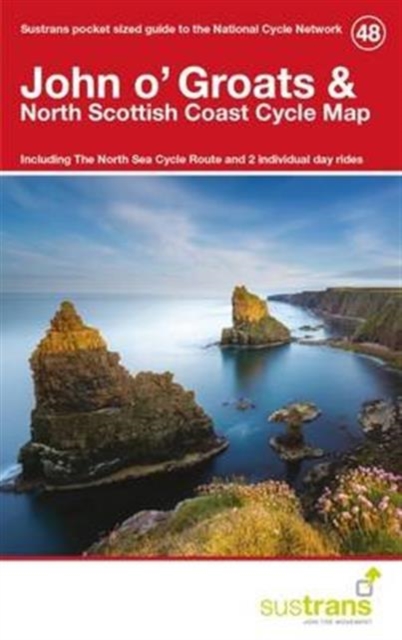
John O'groats & North Scottish Coast Cycle Map 48 : Including the North Sea Cycle Route and 2 Individual Day Rides Sheet map, folded
by Sustrans
Sheet map, folded
Description
This is in the series of pocket sized, folded maps to the National Cycle Network which include clearly mapped on-road and traffic-free paths, easy to read contours and detailed town insets.
Published by Sustrans. 1:110,000 scale; folded 155mm x 99mm; flat 792mm x 630mm.John o' Groats & North Scottish Coast Cycle Map (48).
Including The North Sea Cycle Route and 2 individual day rides.
Information
-
Item not Available
- Format:Sheet map, folded
- Publisher:Sustrans
- Publication Date:07/03/2016
- Category:
- ISBN:9781910845127
Information
-
Item not Available
- Format:Sheet map, folded
- Publisher:Sustrans
- Publication Date:07/03/2016
- Category:
- ISBN:9781910845127


