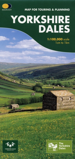
Yorkshire Dales : Map for Touring and Planning Sheet map, folded
Sheet map, folded
Description
This map provides a colourful overview of the Dales - famous Swaledale, Wensleydale, Wharfedale & Nidderdale.
Colour shading makes it easy to pick out the hills & dales.
Driveable roads are shown & steep hills marked. There is an introduction to each area, street plans of towns & lots of information on places to visit.
Information
-
In Stock - usually despatched within 24 hours
- Format:Sheet map, folded
- Pages:1 pages, 10 illustrations
- Publisher:Harvey Map Services Ltd
- Publication Date:30/06/2007
- Category:
- ISBN:9781851374335
Information
-
In Stock - usually despatched within 24 hours
- Format:Sheet map, folded
- Pages:1 pages, 10 illustrations
- Publisher:Harvey Map Services Ltd
- Publication Date:30/06/2007
- Category:
- ISBN:9781851374335


