Zillertal Hiking, Cycling and Leisure Map : Tuxer Alpen, Jenbach, Schwaz 1:50,000 scale 151 Sheet map, folded
Part of the Wander-Rad-Freizeitkarte series
Sheet map, folded
Description
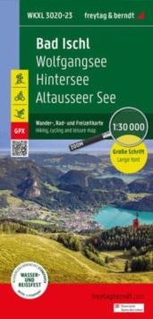
Freytag & Berndt hiking maps are the perfect companion for hiking, mountaineering and ski touring, thanks to detailed digital cartography and precise yardsticks.
They are regularly revised and contain updated information on hiking trails, cycling and mountain biking trails, huts, natural monuments, cultural attractions and leisure facilities. The enclosed information booklet contains a selection of the best hiking trails, cycle paths and mountain bike trails as well as a short description of the individual municipalities with their leisure time activities. (Language: German)Leisure information, hiking and long-distance hiking trails, mountain biking and cycling tours, local register with zip codes, GPS-capable, via ferrata, ski route, cross-country route, Nordic walking trail;Region: Zillertal, Zillertal Alps, Unterinntal, Kitzbuhel Alps, Tux Alps, Karwendel Mountains, Tyrol, North Tyrol, AustriaSpecial hiking theme trails:Nordalpenweg, Zentralalpenweg, Jakobsweg, Adlerweg, via Alpina, Voldertal, Kellerjoch, Ebner JochSpecial cycling and mountain bike tours:Inn Cycle Path (Inntal Cycle Path), Zillertal Cycle Path, Bike Trail Tirol, Alpbachtal Tour, Panoramaweg
Information
-
Out of stock
- Format:Sheet map, folded
- Pages:1 pages
- Publisher:Freytag-Berndt
- Publication Date:25/04/2024
- Category:
- ISBN:9783707920543
Information
-
Out of stock
- Format:Sheet map, folded
- Pages:1 pages
- Publisher:Freytag-Berndt
- Publication Date:25/04/2024
- Category:
- ISBN:9783707920543