C18 Western Approaches to the English Channel & Bay of Biscay : Passage Chart
IMRAY
In Stock - usually despatched within 24 hours
Format: Book (Sheet map, folded)
Imray Chart C62 : Irish Sea
Imray
In Stock - usually despatched within 24 hours
Format: Book (Sheet map, folded)
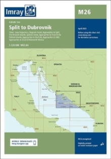
Imray Chart M26 : Split to Dubrovnik
Imray
In Stock - usually despatched within 24 hours
Format: Book (Sheet map, folded)
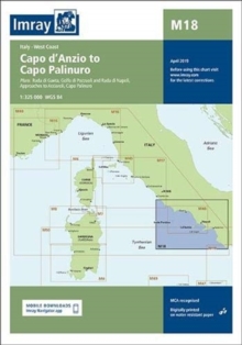
Imray Chart M18 : Capo d'Anzio to Capo Palinuro
Imray
In Stock - usually despatched within 24 hours
Format: Book (Sheet map, folded)
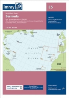
Imray Chart E5 : Bermuda
Imray
In Stock - usually despatched within 24 hours
Format: Book (Sheet map, folded)
Imray Chart Y33 : Eastern Approach to the Solent (Small Format)
Imray
In Stock - usually despatched within 24 hours
Format: Book (Sheet map, folded)
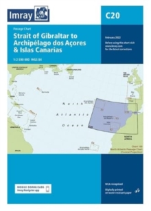
Imray Chart C20 : Strait of Gibraltar to Archipelago dos Acores & Islas Canarias Passage Chart
Imray
Out of stock
Format: Book (Sheet map, folded)
Imray Chart Y32 : Eastern Approach to the Solent (Small Format)
Imray
Out of stock
Format: Book (Sheet map, folded)
Map Inland Waterways of France
David Edwards-May
Item not Available
Format: Book (Sheet map, folded)
£9.95
£9.75
Item not Available
Book (Sheet map, folded)
Imray Chart C8 : Dover Strait; North Foreland to Beachy Head and Boulogne
Imray
Item not Available
Format: Book (Sheet map, folded)
£19.00
£18.45
Item not Available
Book (Sheet map, folded)
Imray Chart Atlas 2200 : Solent - Selsey Bill and the Isle of Wight to Christchurch
Imray Laurie Norie & Wilson Ltd
Item not Available
Format: Book (Sheet map, flat)
£45.00
Item not Available
Book (Sheet map, flat)
Imray Chart C15 : The Solent - Bembridge to Hurst Point and Southampton
Imray
Item not Available
Format: Book (Sheet map, folded)
£19.95
£19.55
Item not Available
Book (Sheet map, folded)
Imray Chart C5 : Portland Bill to Salcombe Harbour
Imray
Item not Available
Format: Book (Sheet map, folded)
£23.95
Item not Available
Book (Sheet map, folded)


