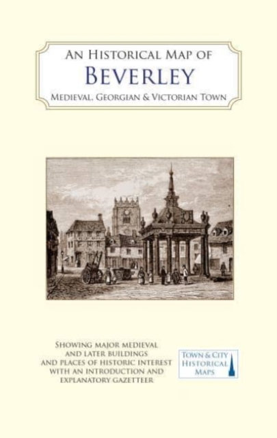
An Historical Map of Beverley: Medieval, Georgian and Victorian town Sheet map, folded
by D.H. Evans, Barbara English, David Neave, Susan Neave
Sheet map, folded
Description
A full colour map, based on a digitised OS map of Beverley of about 1908, with its medieval, Georgian and Victorian past overlain and important buildings picked out.
Beverley is one of England’s most attractive towns with two of the country’s greatest medieval parish churches, the Minster and St Mary’s, and a wealth of Georgian buildings.
The medieval town had three main foci: to the south the Minster, the probable origin of the town in the Saxon period, with Wednesday Market; to the north Saturday Market and St Mary’s church; and to the south-east a port at the head of the canalised Beverley Beck linking to the River Hull. In the 14th century the town was one of the most populous and prosperous in Britain.
This prosperity came from the cloth trade, tanning and brickmaking as well as the markets and fairs, and the many pilgrims who flocked to the shrine of St John of Beverley.
By the end of the Middle Ages, the town was in decline, not helped by the dissolution of the great collegiate Minster church in 1548. Beverley’s fortunes revived in the 18th century when it became the administrative capital of the East Riding of Yorkshire and a thriving social centre.
The gentry, who came here for the Quarter Sessions and other gatherings together with their families, patronised the racecourse, assembly rooms, theatre and tree-lined promenade.
It was they and the growing number of professionals who built the large Georgian houses, often set in extensive grounds, many of which survive. In contrast the townscape and economy of Victorian Beverley was dominated by several thriving industries, notably tanning, the manufacture of agricultural machinery and shipbuilding. The map’s cover has a short introduction to the town’s history, and on the reverse an illustrated and comprehensive gazetteer of Beverley’s main sites of historic interest.
Information
-
Less than 10 available - usually despatched within 24 hours
- Format:Sheet map, folded
- Pages:2 pages, The back of the map has coloured early views of buildings, monuments and street scenes of B
- Publisher:The Historic Towns Trust
- Publication Date:27/01/2022
- Category:
- ISBN:9781838071912


