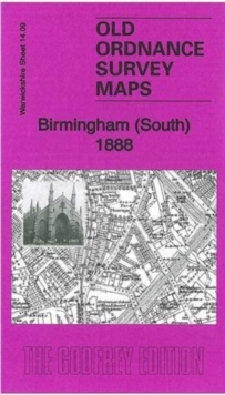
Birmingham (South) 1888 : Warwickshire Sheet 14.09a
Malcolm Nixon
In Stock - usually despatched within 24 hours
Format: Book (Sheet map, folded)
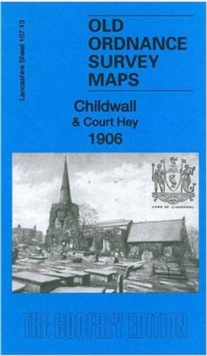
Childwall & Court Hey 1906 : Lancashire Sheet 107.13
Kay Parrott
In Stock - usually despatched within 24 hours
Format: Book (Sheet map, folded)
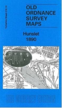
Hunslet 1890 : Yorkshire Sheet 218.10
Gordon Dickinson
In Stock - usually despatched within 24 hours
Format: Book (Sheet map, folded)
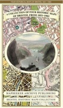
A Bristol 1851-1903 - Fold up Map that consists of Four Detailed Street Plans, Bristol 1851 by John Tallis, 1866 by A Fullarton, 1893 by William MacKenzie and 1903 by Bartholomew.
Mapseeker Publishing Ltd.
In Stock - usually despatched within 24 hours
Format: Book (Sheet map, folded)
The Family Tree Historical Atlas of Germany
James M. Beidler
In Stock - usually despatched within 24 hours
Format: Book (Hardback)
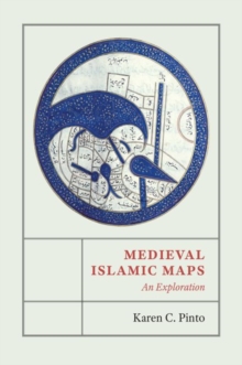
Medieval Islamic Maps : An Exploration
Karen C. Pinto
In Stock - usually despatched within 24 hours
Format: Book (Hardback)
Renaissance Galway : delineating the seventeenth-century city
Paul Walsh
In Stock - usually despatched within 24 hours
Format: Book (Paperback / softback)
A Oxfordshire 1611 - 1836 - Fold Up Map that features a collection of Four Historic Maps, John Speed's County Map 1611, Johan Blaeu's County Map of 1648, Thomas Moules County Map of 1836 and a Plan of
Mapseeker Publishing Ltd.
In Stock - usually despatched within 24 hours
Format: Book (Sheet map, folded)
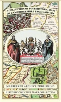
Cambridgeshire 1611 - 1836 - Fold Up Map that includes Four Historic Maps of Cambridgeshire, John Speed's County Map of 1611, Johan Blaeu's County Map of 1648, Thomas Moule's County Map of 1836 and Th
Mapseeker Publishing Ltd.
In Stock - usually despatched within 24 hours
Format: Book (Sheet map, folded)
Edgbaston 1887 : Warwickshire Sheet 13.12a
Malcolm Nixon
In Stock - usually despatched within 24 hours
Format: Book (Sheet map, folded)
Drogheda : Irish Historic Towns Atlas, no. 29
Ned McHugh
In Stock - usually despatched within 24 hours
Format: Book (Mixed media product)
£30.00
£28.89
In Stock - usually despatched within 24 hours
Book (Mixed media product)
Add to BasketVintage Maps Mini Notebook
Vintage Maps
In Stock - usually despatched within 24 hours
Format: Book (Notebook / blank book)
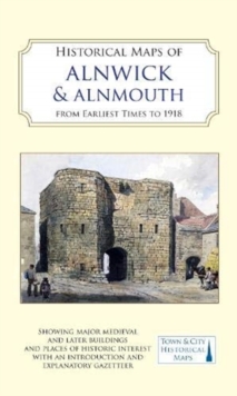
Historical Maps of Alnwick & Alnmouth from Earliest Times to 1918
Drawn from Alnwick's Heritage Societies
In Stock - usually despatched within 24 hours
Format: Book (Sheet map)
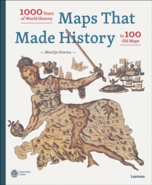
Maps that Made History : 1000 Years of World History in 100 Old Maps
Martijn Storms
In Stock - usually despatched within 24 hours
Format: Book (Hardback)
Wildfire Through Staffordshire
Paul Leslie Line
In Stock - usually despatched within 24 hours
Format: Book (Hardback)
Thomas Hanson Town Plan of Birmingham 1778
Thomas Hanson
In Stock - usually despatched within 24 hours
Format: Book (Sheet map, folded)
John Hancox's Map of the Birmingham Canal Navigations 1864
John Hancox
In Stock - usually despatched within 24 hours
Format: Book (Sheet map, folded)
The Mining & Manufacturing Districts 1836 Staffordshire and Worcestershire
Mapseeker Publishing Ltd.
In Stock - usually despatched within 24 hours
Format: Book (Sheet map, folded)
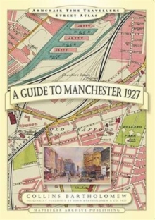
Guide to Manchester 1927
Mapseeker Archive Publishing
In Stock - usually despatched within 24 hours
Format: Book (Hardback)
The Atlas of Boston History
Nancy S Seasholes
In Stock - usually despatched within 24 hours
Format: Book (Hardback)
St Andrews 1854 Map
Peter J. Adams
In Stock - usually despatched within 24 hours
Format: Book (Sheet map)
Samuel Bradford Town Plan Birmingham 1750
Samuel Bradford
In Stock - usually despatched within 24 hours
Format: Book (Sheet map, folded)
