Swansea (North) 1897 : Glamorgan Sheet 24.01
Steph Mastoris
In Stock - usually despatched within 24 hours
Format: Book (Sheet map, folded)
Samuel Bradford Town Plan Birmingham 1750
Samuel Bradford
In Stock - usually despatched within 24 hours
Format: Book (Sheet map, folded)
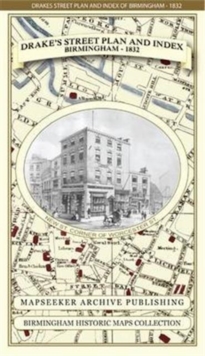
James Drake's Street Plan and Index of Birmingham 1832
James Drake
In Stock - usually despatched within 24 hours
Format: Book (Sheet map, folded)
Liverpool 1650 to 1821 - Fold Up Map Containing Town Plans of Liverpool that include Liverpool 1650, 1725, 1795 and Sherwood's plan of Liverpool and Environs 1821
Mapseeker Publishing Ltd.
In Stock - usually despatched within 24 hours
Format: Book (Sheet map, folded)
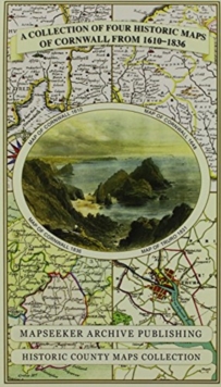
Cornwall 1611 - 1836 - Fold Up Map that features a collection of Four Historic Maps, John Speed's County Map 1611, Johan Blaeu's County Map of 1648, Thomas Moules County Map of 1836 and Robert Dawson'
Mapseeker Publishing Ltd.
In Stock - usually despatched within 24 hours
Format: Book (Sheet map, folded)
Hampshire 1610 - 1836 - Fold Up Map that features a collection of Four Historic Maps, John Speed's County Map 1611, Johan Blaeu's County Map of 1648, Thomas Moules County Map of 1836 and a Plan of Win
Mapseeker Publishing Ltd.
In Stock - usually despatched within 24 hours
Format: Book (Sheet map, folded)
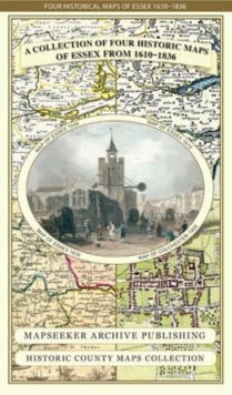
Essex 1610 - 1836 - Fold Up Map that features a collection of Four Historic Maps, John Speed's County Map 1610, Johan Blaeu's County Map of 1648, Thomas Moules County Map of 1836 and a Plan of Colches
Mapseeker Publishing Ltd.
In Stock - usually despatched within 24 hours
Format: Book (Sheet map, folded)
Manchester 1650 - 1876 - Fold Up Map featuring William Swire's Plan of Manchester and Environs 1824, Cole and Ropers Plan of Manchester and Salford 1807, Dawson's Reform Plan of 1831, A Birds Eye View
Mapseeker Publishing Ltd.
In Stock - usually despatched within 24 hours
Format: Book (Sheet map, folded)
Derbyshire 1610 - 1836 - Fold Up Map that features a collection of Four Historic Maps, John Speed's County Map 1611, Johan Blaeu's County Map of 1648, Thomas Moules County Map of 1836 and Cole and Rop
Mapseeker Publishing Ltd.
In Stock - usually despatched within 24 hours
Format: Book (Sheet map, folded)
Map Hanesyddol o Abertawe a Mwmbwls : tref ganoloesol i Copropolis
Matthew Stevens
In Stock - usually despatched within 24 hours
Format: Book (Sheet map, folded)
£4.99
£4.75
Item not Available
Book (Sheet map, folded)
Tartans Map of Scotland : An Authoritative Guide to Scottish Tartans and Their Origins
Collins Maps
Item not Available
Format: Book (Sheet map, folded)
£4.99
Item not Available
Book (Sheet map, folded)
£7.99
£7.45
Item not Available
Book (Sheet map)
£7.99
£7.05
Item not Available
Book (Sheet map)
£7.99
£6.85
Item not Available
Book (Sheet map)
£7.99
£6.39
Item not Available
Book (Sheet map)
£7.99
£6.39
Item not Available
Book (Sheet map)
Canterbury 1906 : Kent Sheet 46.03
Barrie Trinder
Item not Available
Format: Book (Sheet map, folded)
£3.00
Item not Available
Book (Sheet map, folded)
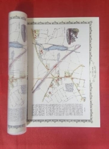
Walmley Village 1882 - Old Map Supplied Rolled in a Clear Two Part Screw Presentation Tube - Print Size 45cm x 32cm
Mapseeker Publishing
In Stock - usually despatched within 24 hours
Format: Book (Sheet map, rolled)
Tamworth 1885 - Old Map Supplied Rolled in a Clear Two Part Screw Presentation Tube - Print Size 45cm x 32cm
Mapseeker Publishing
In Stock - usually despatched within 24 hours
Format: Book (Sheet map, rolled)
Liverpool 1785-1903 - Fold up Map that includes Charles Eyes detailed Plan of the Township of Liverpool 1785, Cole and Ropers Plan of 1807, Bartholomew's Plan of 1903 and A Birds Eye View of Liverpool
Mapseeker Publishing Ltd.
In Stock - usually despatched within 24 hours
Format: Book (Sheet map, folded)
Devon 1611 - 1836 - Fold Up Map that features a collection of Four Historic Maps, John Speed's County Map 1611, Johan Blaeu's County Map of 1648, Thomas Moules County Map of 1836 and a Plan of Exeter
Mapseeker Publishing Ltd.
In Stock - usually despatched within 24 hours
Format: Book (Sheet map, folded)
Gloucestershire 1611 - 1836 - Fold Up Map that features a collection of Four Historic Maps, John Speed's County Map 1611, Johan Blaeu's County Map of 1648, Thomas Moules County Map of 1836 and a Plan
Mapseeker Publishing Ltd.
In Stock - usually despatched within 24 hours
Format: Book (Sheet map, folded)
Kent County 1611 - 1836 - Fold Up Map that features a collection of Four Historic Maps, John Speed's County Map 1611, Johan Blaeu's County Map of 1648, Thomas Moules County Map of 1836 and a Plan of C
Mapseeker Publishing Ltd.
In Stock - usually despatched within 24 hours
Format: Book (Sheet map, folded)


