Nicholson Inland Waterways Map of Great Britain : For Everyone with an Interest in Britain’s Canals and Rivers
Nicholson Waterways Guides
In Stock - usually despatched within 24 hours
Format: Book (Sheet map, folded)
Women's History London Map : Guide to Historical Women in London
Katie Wignall
In Stock - usually despatched within 24 hours
Format: Book (Sheet map, folded)
South Asian History London Map : Guide to South Asian Historical Landmarks and Figures in London
Bushra Mohamed
Pre-Order
Format: Book (Sheet map, folded)
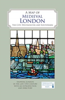
A Map of Medieval London : The City, Westminster and Southwark
Caroline Barron
In Stock - usually despatched within 24 hours
Format: Book (Sheet map, folded)
A Map of Tudor London : The City and Southwark in 1520. Second edition
Caroline Barron
In Stock - usually despatched within 24 hours
Format: Book (Sheet map, folded)
Plymouth to Polperro 1894 : One Inch Sheet 348
Tom Greeves
In Stock - usually despatched within 24 hours
Format: Book (Sheet map, folded)
An Historical Map of Canterbury from medieval times to 1907
Jake Weekes
In Stock - usually despatched within 24 hours
Format: Book (Sheet map, folded)
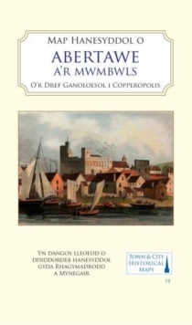
Map Hanesyddol o Abertawe a Mwmbwls : tref ganoloesol i Copropolis
Matthew Stevens
In Stock - usually despatched within 24 hours
Format: Book (Sheet map, folded)
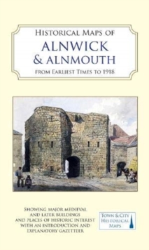
Historical Maps of Alnwick & Alnmouth from Earliest Times to 1918
Drawn from Alnwick's Heritage Societies
In Stock - usually despatched within 24 hours
Format: Book (Sheet map)
A Oxfordshire 1611 - 1836 - Fold Up Map that features a collection of Four Historic Maps, John Speed's County Map 1611, Johan Blaeu's County Map of 1648, Thomas Moules County Map of 1836 and a Plan of
Mapseeker Publishing Ltd.
In Stock - usually despatched within 24 hours
Format: Book (Sheet map, folded)
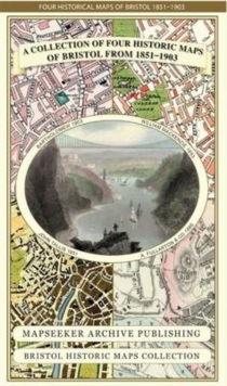
A Bristol 1851-1903 - Fold up Map that consists of Four Detailed Street Plans, Bristol 1851 by John Tallis, 1866 by A Fullarton, 1893 by William MacKenzie and 1903 by Bartholomew.
Mapseeker Publishing Ltd.
In Stock - usually despatched within 24 hours
Format: Book (Sheet map, folded)
Central Liverpool 1890 : La106.14a
Kay Parrott
In Stock - usually despatched within 24 hours
Format: Book (Sheet map, folded)
Hampshire 1610 - 1836 - Fold Up Map that features a collection of Four Historic Maps, John Speed's County Map 1611, Johan Blaeu's County Map of 1648, Thomas Moules County Map of 1836 and a Plan of Win
Mapseeker Publishing Ltd.
In Stock - usually despatched within 24 hours
Format: Book (Sheet map, folded)
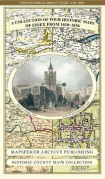
Essex 1610 - 1836 - Fold Up Map that features a collection of Four Historic Maps, John Speed's County Map 1610, Johan Blaeu's County Map of 1648, Thomas Moules County Map of 1836 and a Plan of Colches
Mapseeker Publishing Ltd.
In Stock - usually despatched within 24 hours
Format: Book (Sheet map, folded)
Central Birmingham 1888 : Warwickshire Sheet 14.05a
Barrie Trinder
In Stock - usually despatched within 24 hours
Format: Book (Sheet map, folded)
Liverpool 1650 to 1821 - Fold Up Map Containing Town Plans of Liverpool that include Liverpool 1650, 1725, 1795 and Sherwood's plan of Liverpool and Environs 1821
Mapseeker Publishing Ltd.
In Stock - usually despatched within 24 hours
Format: Book (Sheet map, folded)
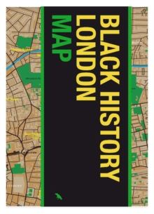
Black History London Map : Guide to Black Historical Landmarks in London
Jody Burton
In Stock - usually despatched within 24 hours
Format: Book (Sheet map, folded)
Central Glasgow 1893 : Lanarkshire Sheet 6.10a
Gilbert Bell
In Stock - usually despatched within 24 hours
Format: Book (Sheet map, folded)
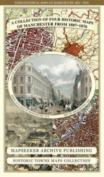
Manchester 1650 - 1876 - Fold Up Map featuring William Swire's Plan of Manchester and Environs 1824, Cole and Ropers Plan of Manchester and Salford 1807, Dawson's Reform Plan of 1831, A Birds Eye View
Mapseeker Publishing Ltd.
In Stock - usually despatched within 24 hours
Format: Book (Sheet map, folded)
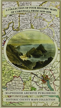
Cornwall 1611 - 1836 - Fold Up Map that features a collection of Four Historic Maps, John Speed's County Map 1611, Johan Blaeu's County Map of 1648, Thomas Moules County Map of 1836 and Robert Dawson'
Mapseeker Publishing Ltd.
In Stock - usually despatched within 24 hours
Format: Book (Sheet map, folded)
Derbyshire 1610 - 1836 - Fold Up Map that features a collection of Four Historic Maps, John Speed's County Map 1611, Johan Blaeu's County Map of 1648, Thomas Moules County Map of 1836 and Cole and Rop
Mapseeker Publishing Ltd.
In Stock - usually despatched within 24 hours
Format: Book (Sheet map, folded)
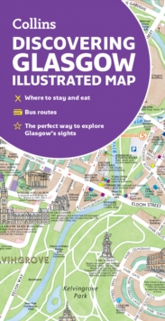
Discovering Glasgow Illustrated Map : Ideal for Exploring
Dominic Beddow
In Stock - usually despatched within 24 hours
Format: Book (Sheet map, folded)
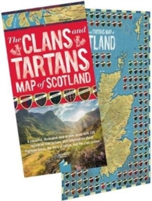
The Clans and Tartans Map of Scotland : Folded, with Cover - A colourful, illustrated map of clan lands with 150 registered clan tartans, plus information about Highland Dress, the story of tartan, an
Waverley Books Waverley Books
In Stock - usually despatched within 24 hours
Format: Book (Sheet map, folded)
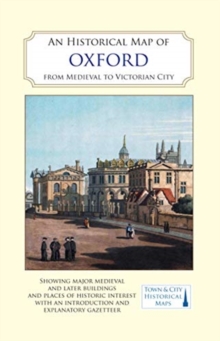
An Historical Map of Oxford: From Medieval to Victorian Times (New Edition)
Alan Crossley
In Stock - usually despatched within 24 hours
Format: Book (Sheet map, folded)


